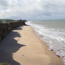
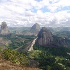
Ecoporanga, Rural municipality in northern Espírito Santo, Brazil.
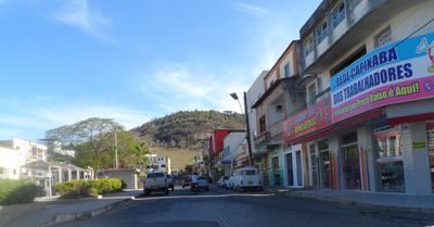
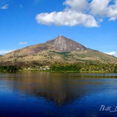
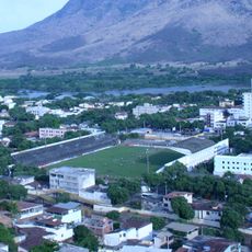
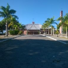
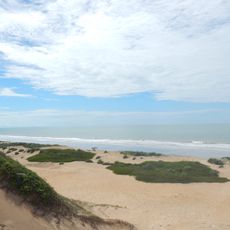
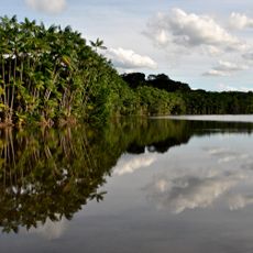
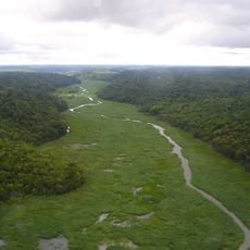
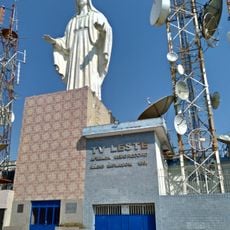
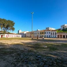
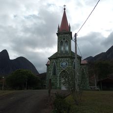
Ecoporanga is a rural municipality in northern Espírito Santo characterized by a landscape of rolling hills and scattered settlements. The territory features natural vegetation and small communities connected by a network of local roads.
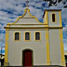
The area was originally home to indigenous communities who named the region before it was officially established as a municipality in 1953. This founding marked a shift in how the territory was administratively organized.
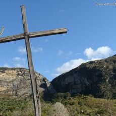
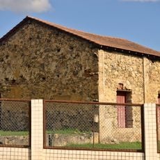
The residents maintain strong agricultural traditions that shape daily life and social connections in the area. This deep connection to farming practices is visible in how people organize their communities and interact with the land.
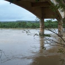
The area is accessible through a network of local roads and offers essential services for visitors and residents. Getting around the municipality is easiest with your own vehicle, as public transportation options are limited.
The municipality sits at the intersection of three Brazilian states, serving as a geographical meeting point of Espírito Santo, Minas Gerais, and Bahia. This rare three-state convergence gives it a distinctive position within the region's geography.
Location: Espírito Santo
Elevation above the sea: 299 m
Shares border with: Vila Pavão, Água Doce do Norte, Ataléia, Barra de São Francisco, Carlos Chagas, Mucurici, Nanuque, Nova Venécia, Ponto Belo
Website: http://ecoporanga.es.gov.br
GPS coordinates: -18.37278,-40.83083
Latest update: December 10, 2025 15:54
Pico da Ibituruna
128 km
Igreja Velha
109.5 km
Stade José Mammoud Abbas
128.6 km
Praia da Costa Dourada
125.8 km
Pontões Capixabas Natural Monument
89.1 kmPuente Getúlio Vargas
140.9 km
Estádio José Olímpio da Rocha
69 kmAugusto Ruschi Biological Reserve
172.9 km
Estádio Nassri Mattar
91.4 km
St. Matthew Cathedral, São Mateus
109.1 km
Itaúnas State Park
118.8 km
Estádio do Sernamby
110 km
Sooretama Biological Reserve
100.1 km
Rio Preto National Forest
105.4 km
Sete Salões State Park
115 km
Ponte Régis Bittencourt
107.4 km
Igreja Matriz de São Mateus
109.6 km
São Mateus Lighthouse
119 km
Complexo Monumento do Ibituruna
127.9 km
Cine Ritz Aracruz
172 km
Cine Teixeira Mall
147.7 km
Cine São Mateus
109.6 km
Cine Ritz Conceição
138.4 km
Núcleo Histórico do Porto de São Mateus
109.7 km
Casa de Pedra do Perletti
58.6 km
Church
170.9 km
Frans Krajcberg Ecological Museum
154.8 km
Companhia Açucareira Rio Doce
125.5 kmVisited this place? Tap the stars to rate it and share your experience / photos with the community! Try now! You can cancel it anytime.
Discover hidden gems everywhere you go!
From secret cafés to breathtaking viewpoints, skip the crowded tourist spots and find places that match your style. Our app makes it easy with voice search, smart filtering, route optimization, and insider tips from travelers worldwide. Download now for the complete mobile experience.
A unique approach to discovering new places❞
— Le Figaro
All the places worth exploring❞
— France Info
A tailor-made excursion in just a few clicks❞
— 20 Minutes