Baixo Guandu, Administrative division in Espírito Santo, Brazil
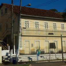
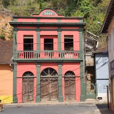
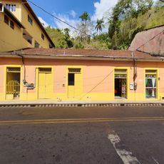
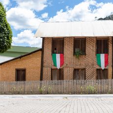
Baixo Guandu is a municipality in Espírito Santo located in eastern Brazil, featuring agricultural lands alongside municipal infrastructure and administrative buildings. The area combines rural zones with central civic structures.
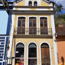
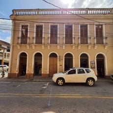
The municipality grew from agricultural settlements into an organized community with formal administrative functions. This development shaped the region throughout Espírito Santo.
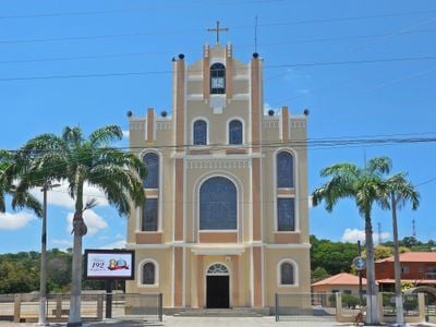
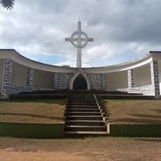
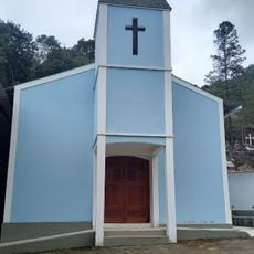
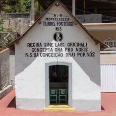
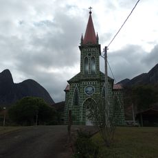
The Igreja Matriz de São Pedro serves as the community's religious center, where residents gather for regular celebrations and religious observances throughout the year. The church and its surroundings form the heart of local social life.
Residents and visitors can access municipal services through the SAAE online portal for tax information and official documentation. This digital platform makes it easy to obtain necessary administrative information during a visit.
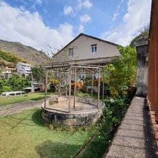
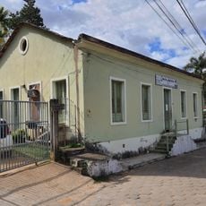
The Creche Proinfância operates as a specialized learning center supported by dedicated municipal equipment programs designed for early childhood development. This investment reflects the community's commitment to educational foundations from infancy.
Location: Espírito Santo
Inception: 1935
Elevation above the sea: 78 m
Shares border with: Laranja da Terra, Aimorés, Colatina, Itaguaçu, Itueta, Pancas, Resplendor
Website: http://pmbg.es.gov.br
GPS coordinates: -19.51889,-41.01583
Latest update: December 7, 2025 10:07
Buddha of Ibiraçu
78.6 km
Mosteiro Zen Morro da Vargem
78.6 km
Pontões Capixabas Natural Monument
44.1 km
Estádio José Olímpio da Rocha
66 kmAugusto Ruschi Biological Reserve
64.1 km
Sete Salões State Park
33 km
Goiapaba-Açu
71.7 km
Goiapaba-Açu Municipal Nature Park
71.5 km
Casa da Cultura de Fundão
78.8 km
Residência Augusto Ruschi
63.8 km
Pittol Family Mansion
77.2 km
Edifício na Rua do Comércio nº 54
82.3 km
Casarão em Luxemburgo
81.7 km
The Old Club 1914
82.3 km
Monumento ao Imigrante
82.4 km
Sumidouro e Cachoeira do Funil
81.1 km
Herzog Family Mansion
82.2 km
Edifício na Rua do Comércio nº 55
82.3 km
Edifício na Rua do Comércio nº 51 e 53
82.4 km
Building at Rua do Comércio no. 57 and 59
82.3 km
Igrejinha
73.5 km
Lower Church
82.3 km
Old Mansion of Dona Zezé
82.3 km
Edifício na Rua Bernardino Monteiro nº 18
82.3 km
Virgilio Lambert Residence
63.1 km
Capela de Nossa Senhora da Conceição
63.2 km
Waterfall
77.6 km
Church
47.3 kmVisited this place? Tap the stars to rate it and share your experience / photos with the community! Try now! You can cancel it anytime.
Discover hidden gems everywhere you go!
From secret cafés to breathtaking viewpoints, skip the crowded tourist spots and find places that match your style. Our app makes it easy with voice search, smart filtering, route optimization, and insider tips from travelers worldwide. Download now for the complete mobile experience.
A unique approach to discovering new places❞
— Le Figaro
All the places worth exploring❞
— France Info
A tailor-made excursion in just a few clicks❞
— 20 Minutes