Brumadinho

Log in to your account

AroundUs is a community-driven map of interesting places, built by curious explorers like you. It grows with every review, story, and photo you share.
Connect to save your favorite spots, contribute locations, and create personalized routes.
Continue with Google
Continue with Apple
Continue with X
Continue with Facebook
Continue with email
By continuing, you accept our Terms and Conditions and our Privacy Policy
Create an account
Add to collection
Map
Suggest a change
Share

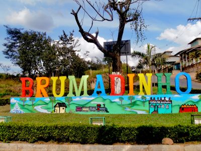
Brumadinho, Municipal district in Minas Gerais, Brazil

Brumadinho is a municipality in Minas Gerais situated along the Paraopeba River at an elevation of around 880 meters (2,887 feet) within the Belo Horizonte metropolitan area. The terrain slopes through farmland, forests, and residential neighborhoods that connect to larger urban centers nearby.

A settlement formed here in 1689, and the area gained official municipal status in 1938. This progression shows how a small colonial-era community eventually became a formally organized municipality with its own local government.

The Banda São Sebastião musical group, established in 1929, remains an active part of community gatherings and public celebrations in the municipality. Such traditions reflect how residents connect through shared cultural expression and local pride.

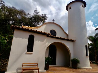
Roads connect this municipality efficiently to other major centers in Minas Gerais, making travel between areas straightforward. Most shops, services, and facilities are located in the central neighborhoods or within easy reach from them.

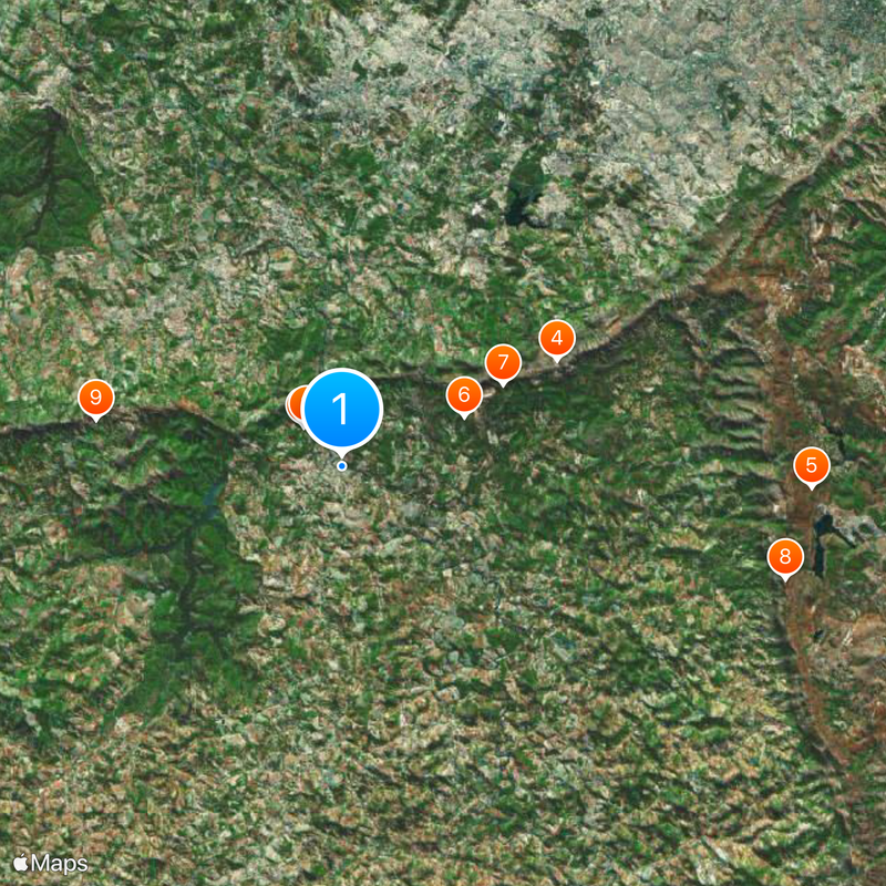
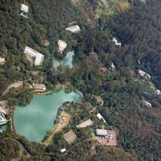
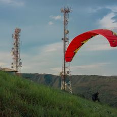
Within the municipal boundaries lies the Serra do Rola-Moça State Park, a large protected area home to native highland vegetation. This preserved forest region offers a contrast to the populated areas and remains less visited than other attractions in the region.

Location: Minas Gerais

Inception: 1689

Elevation above the sea: 778 m

Shares border with: Nova Lima, Igarapé, Mário Campos, Rio Manso, Moeda, Bonfim, Itatiaiuçu, Belo Horizonte, Belo Vale, Ibirité, Itabirito, São Joaquim de Bicas, Sarzedo

Website: http://brumadinho.mg.gov.br

GPS coordinates: -20.14278,-44.20000

Latest update: December 14, 2025 19:10

Photos
Reviews

Visited this place? Tap the stars to rate it and share your experience / photos with the community! Try now! You can cancel it anytime.

« Brumadinho - Municipal district in Minas Gerais, Brazil » is provided by Around Us (aroundus.com). Images and texts are derived from Wikimedia project under a Creative Commons license. You are allowed to copy, distribute, and modify copies of this page, under the conditions set by the license, as long as this note is clearly visible.

Discover hidden gems everywhere you go!

From secret cafés to breathtaking viewpoints, skip the crowded tourist spots and find places that match your style. Our app makes it easy with voice search, smart filtering, route optimization, and insider tips from travelers worldwide. Download now for the complete mobile experience.

Around Us App Screenshot

A unique approach to discovering new places

Le Figaro

All the places worth exploring

France Info

A tailor-made excursion in just a few clicks

20 Minutes