Pirapora, Municipality in North Minas, Brazil
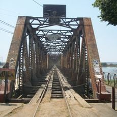
Pirapora is a town situated along the right bank of the São Francisco River at an elevation of 679 meters (2,227 feet). The municipality covers an area of roughly 550 square kilometers and features schools, shops, and residential areas organized in a grid pattern.
The town grew from a settlement of gold prospectors who originally called it São Gonçalo das Tabocas. It became an official municipality in 1912 and was planned with its distinctive grid-like street layout.
The name comes from Tupi words referring to fish that swim upstream seasonally in the São Francisco River to spawn. Visitors can observe this connection to nature along the riverbank, where the water shapes daily life throughout town.
The town has 39 health facilities and three higher education institutions serving different needs. Connections to other regions are available through the BR 040 highway and railway infrastructure, making travel straightforward.
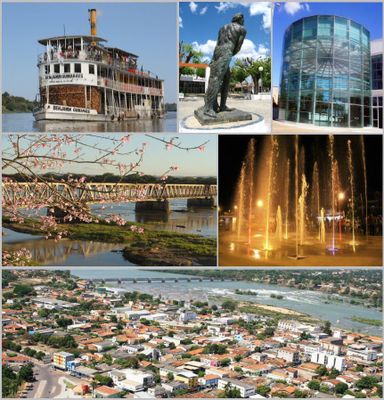
The steamboat Benjamin Guimarães was built in Mississippi in 1913 and remains the last paddle-wheel steamer in regular service on the São Francisco River. This rare wood-burning vessel is a floating relic from another era and attracts visitors curious about river history.
The community of curious travelers
AroundUs brings together thousands of curated places, local tips, and hidden gems, enriched daily by 60,000 contributors worldwide.