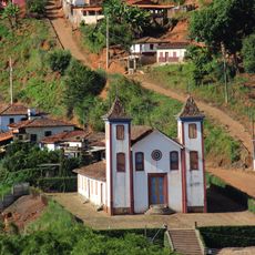
Serra do Cabral State Park, Protected natural area in central-north Minas Gerais, Brazil
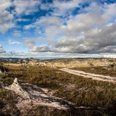
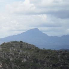
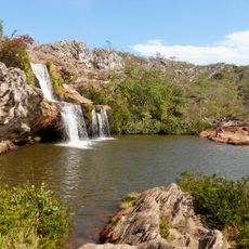
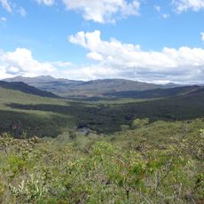
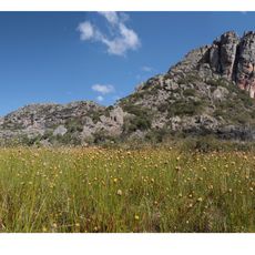
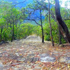
Serra do Cabral State Park is a protected natural area in central-north Minas Gerais with mountain ranges whose peaks rise between 900 and 1,300 meters. The park spans approximately 22,500 hectares of land distributed across two municipalities in this mountainous region.
The Brazilian government established the park in 2005 through an official decree to protect the landscape and its archaeological sites. Later the park was incorporated into a larger network of protected areas to ensure its long-term conservation.
The rock paintings within the park display zoomorphic designs left by hunter-gatherer societies who lived in the region roughly 1,600 years ago. These artistic works offer insights into how early inhabitants expressed themselves creatively in this mountainous territory.
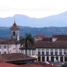
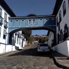
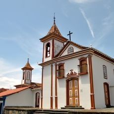
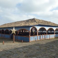
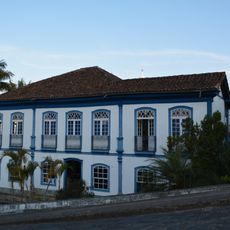
The administrative center is located in Buenópolis and serves as the first point of contact for visitors seeking to learn about the area. Access to the park is restricted in some sections to protect ongoing archaeological work, so it helps to check ahead about which areas are open for exploration.
The protected area functions as a watershed between two major river systems and supplies drinking water to several urban communities in the region. This hidden hydrological role makes it far more important to human settlements than its remote location might suggest.
The community of curious travelers
AroundUs brings together thousands of curated places, local tips, and hidden gems, enriched daily by 60,000 contributors worldwide.