Chest opened
+${chestReward.xp} XP
Explorer
NOUVEAU ×${chestReward.collectible.quantity}
tapez pour fermer
Chest locked

Open chests in the app

Around Us is built for your phone — chests unlock when you walk, explore and capture nearby places.

Enable Location

We need your location to show you interesting places around you

Discover nearby places

Find interesting locations and hidden gems around you

Precise directions

Get accurate directions and distances to places

Your location is never shared with other users. It's only used when you tap the location button.

Raul Soares

Log in to your account

Start exploring — it's free

Trusted by 72,890 travelers worldwide

Continue with Google
Continue with Apple
or

We will send you a code to connect

By continuing, you accept our Terms and Conditions and our Privacy Policy

Check your inbox

We've sent a pincode in your inbox. Please enter the code below.

Discussion Reviews 1 Photos
21k Popularity

Raul Soares, Administrative municipality in Minas Gerais, Brazil

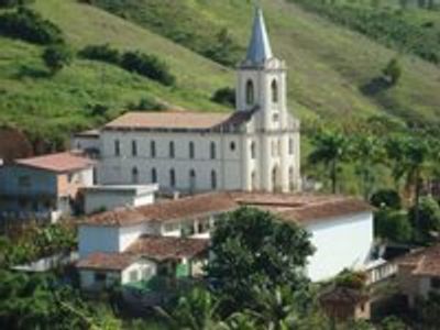
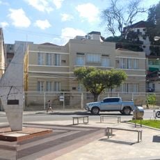
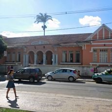
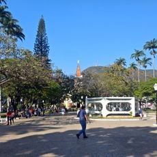
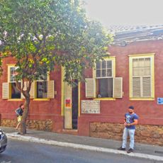
Raul Soares is a municipality in southeastern Minas Gerais that covers an area of land in a region characterized by gentle hills and rural settlements. The town center and surrounding communities form the main populated areas within the municipal boundaries.

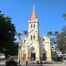
Pioneers from Mariana established settlements in the early 1800s, bringing European influence to the area. The settlement received its current name in 1924, marking its recognition as an official administrative division.

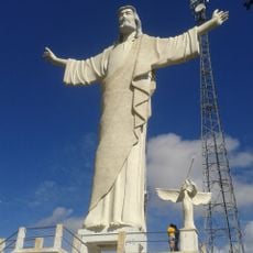
The municipality celebrates its establishment day on January 20th, coinciding with the feast of Saint Sebastian, marking both administrative and religious significance.

The municipality connects to neighboring towns through road routes that serve as the main transportation links. Visitors should plan accordingly since infrastructure is typical of small rural communities.

The territory between Matipó and Santana rivers started as São Sebastião do Entre Rios before receiving its current name in 1924.

The community of curious travelers

AroundUs brings together thousands of curated places, local tips, and hidden gems, enriched daily by 60,000 contributors worldwide.

Start exploring
Location
Elevation above the sea
363 m
Shares border with
Caputira, Vermelho Novo, Abre Campo, Bom Jesus do Galho, Caratinga, Córrego Novo, Dionísio, Manhuaçu, Santa Bárbara do Leste, São José do Goiabal, São Pedro dos Ferros
GPS coordinates
-20.10194,-42.45278
Latest update
December 23, 2025 07:18
Reviews
Share your experience

No review yet

Discussions
Start a discussion...

No discussion yet

« Raul Soares - Administrative municipality in Minas Gerais, Brazil » is provided by Around Us (aroundus.com). Images and texts are derived from Wikimedia project under a Creative Commons license. You are allowed to copy, distribute, and modify copies of this page, under the conditions set by the license, as long as this note is clearly visible.

Discover hidden gems everywhere you go!

From secret cafés to breathtaking viewpoints, skip the crowded tourist spots and find places that match your style. Our app makes it easy with voice search, smart filtering, route optimization, and insider tips from travelers worldwide. Download now for the complete mobile experience.

Around Us App Screenshot

A unique approach to discovering new places

Le Figaro

All the places worth exploring

France Info

A tailor-made excursion in just a few clicks

20 Minutes

Around Us
Travel Guide & Maps
Download

Send to your phone

QR Code
1

Open the camera app on your mobile.

2

Point at the QR code with your camera. A notification will appear.

3

Tap the notification to open the link.