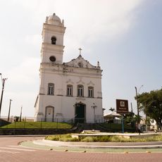
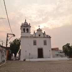
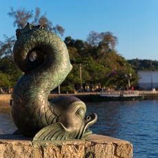
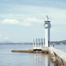
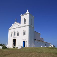
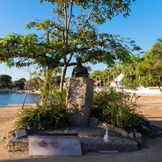
Tanguá, Municipality in Rio de Janeiro State, Brazil.
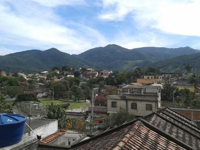
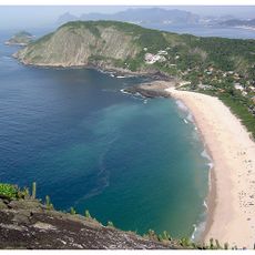
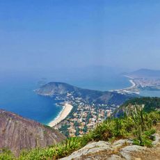
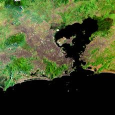
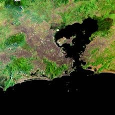
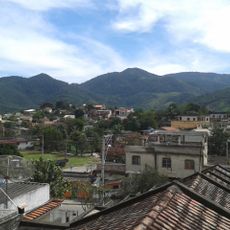
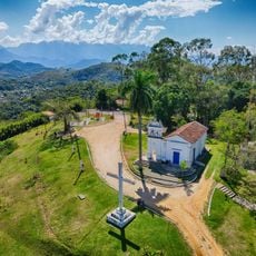
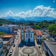
Tanguá is a municipality in Rio de Janeiro State, located in southeastern Brazil with residential neighborhoods and protected forest areas. The town sits between larger urban centers while maintaining natural habitats within its borders.
The municipality emerged as a center for telecommunications development and experienced significant growth in the early 2000s. This period shaped the community's modern structure.
The municipality holds the title of Pioneer Capital of Telecommunications due to its important role in developing Brazilian communications infrastructure. This connection to communication history shapes the community's identity today.
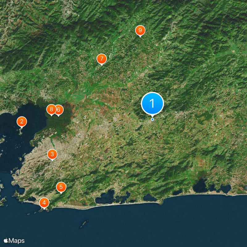
You can reach Tanguá via the Rodovia Governador Mário Covas highway, which connects to major transportation routes in the state. It is advisable to travel by car or use public buses that serve the municipality.
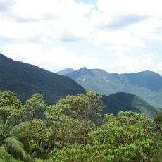
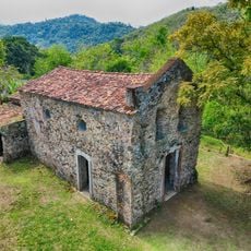
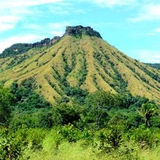
The Serra do Barbosão Municipal Nature Park protects sections of Atlantic Forest and native species within its boundaries. This woodland area offers visitors a natural retreat amid suburban development.
Location: Rio de Janeiro
Elevation above the sea: 65 m
Shares border with: Itaboraí, Cachoeiras de Macacu, Maricá, Rio Bonito, Saquarema
Website: http://tangua.rj.gov.br
GPS coordinates: -22.73000,-42.71389
Latest update: December 20, 2025 15:46
Morro do Castelo
40.1 km
Fazenda Colubandê
33.2 km
Praia de Itacoatiara
42.9 km
Serra da Tiririca State Park
35.9 km
Guapi-Mirim Environmental Protection Area
28.8 km
Igreja de São José da Boa Morte
22.9 km
Guanabara Ecological Station
30.9 km
Bacia do Rio Macacu Environmental Protection Area
25.8 km
Guapi-Guapiaçú Environmental Protection Area
28.2 km
Serra do Barbosão Municipal Nature Park
3.2 km
Phare de l'île de Paquetá
40.2 km
Capela de Nosso Senhor do Bonfim
34.3 km
Convento de São Boaventura
15.7 km
Igreja de Nossa Senhora da Piedade de Magepe
34.6 km
Fazenda do Engenho Novo
25.1 km
Igreja Matriz Nossa Senhora do Amparo
23.7 km
Igreja de São Sebastião de Itaipu
42.9 km
Capela de Santa Ana Piedade
38 km
Igreja Matriz de São João Batista
14.9 km
Casa de Câmara e Cadeia
23.7 km
Golfinho de Paquetá
40.5 km
Relógio Modelo Mesbla
40.5 km
Igreja Matriz de Nossa Senhora de Nazaré
32.4 km
Pedro Bruno
40.5 km
Morro do Segredo
32.6 km
Caramanchão da Praça Pedro Bruno
40.6 km
Banco de Peixe da Praça Pedro Bruno
40.5 km
Pedra do Pampo
43 kmVisited this place? Tap the stars to rate it and share your experience / photos with the community! Try now! You can cancel it anytime.
Discover hidden gems everywhere you go!
From secret cafés to breathtaking viewpoints, skip the crowded tourist spots and find places that match your style. Our app makes it easy with voice search, smart filtering, route optimization, and insider tips from travelers worldwide. Download now for the complete mobile experience.
A unique approach to discovering new places❞
— Le Figaro
All the places worth exploring❞
— France Info
A tailor-made excursion in just a few clicks❞
— 20 Minutes