Caratinga, Administrative division in Minas Gerais, Brazil
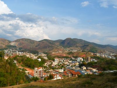
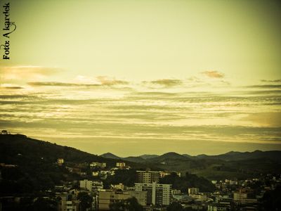
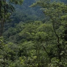
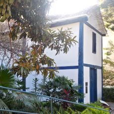
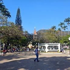
Caratinga is a municipality in eastern Minas Gerais, sitting at around 578 meters elevation and covering roughly 1251 square kilometers in the Rio Doce region. The terrain rolls between gentle hills and steeper rises, with forests and farmland spreading throughout.
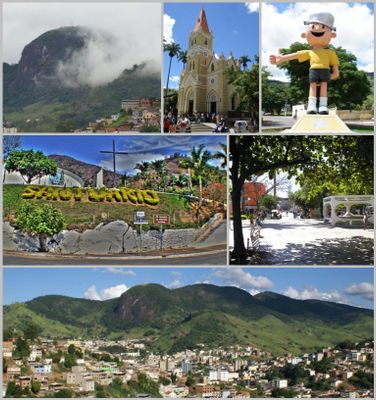
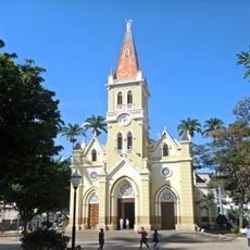
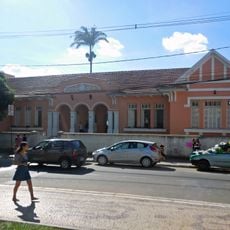
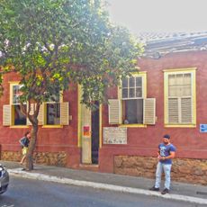
The municipality was officially founded on June 24, 1892, after settlers moved into the area. Aimoré peoples lived here first, before European arrivals developed the region and introduced coffee farming.
The name comes from a Tupi word for a white root vegetable that once grew in the forests around here. Coffee farming shapes daily routines today, with plantations spreading across much of the countryside.
The municipality sits along highway BR-116, which serves as the Rio-Bahia connection, and links to Belo Horizonte via BR-381. Visitors exploring the area will find hilly roads and should allow extra time for drives between districts.
Pedra Itaúna rises to 1012 meters and holds the status of a national historical monument, drawing climbers and paragliders. The rock offers wide views over the surrounding valleys and serves as a launch point for various air sports.
The community of curious travelers
AroundUs brings together thousands of curated places, local tips, and hidden gems, enriched daily by 60,000 contributors worldwide.