
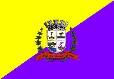
Rio Bananal, municipality of Espírito Santo, Brazil
Location: Espírito Santo
Elevation above the sea: 224 m
Website: http://www.riobananal.es.gov.br
Shares border with: Linhares, Governador Lindenberg, São Domingos do Norte, Sooretama, Vila Valério
Website: http://riobananal.es.gov.br
GPS coordinates: -19.26500,-40.33278
Latest update: April 8, 2025 23:05

Buddha of Ibiraçu
67 km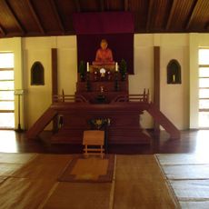
Mosteiro Zen Morro da Vargem
69.8 km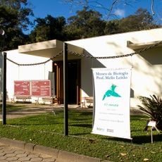
Museu de Biologia Professor Mello Leitão
79.7 km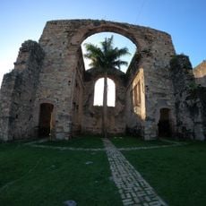
Igreja Velha
79 km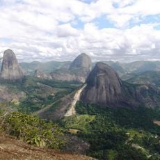
Pontões Capixabas Natural Monument
51.3 km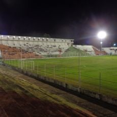
Estádio José Olímpio da Rocha
52.8 km
Puente Getúlio Vargas
32.5 km
Augusto Ruschi Biological Reserve
75.3 km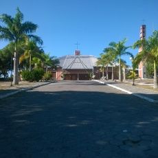
St. Matthew Cathedral, São Mateus
78.7 km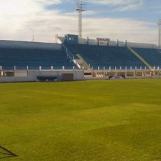
Estádio do Sernamby
78.6 km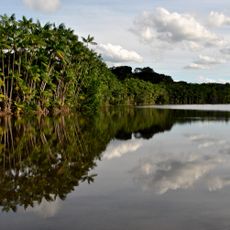
Sooretama Biological Reserve
36.9 km
Ponte Régis Bittencourt
78.4 km
Igreja Matriz de São Mateus
79.2 km
Goiapaba-Açu
73.9 km
Costa das Algas Environmental Protection Area
79.1 km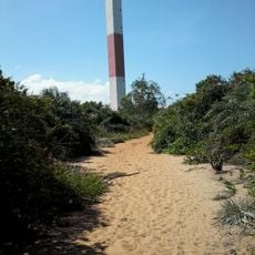
Farol do Rio Doce
67.7 km
Goiapaba-Açu Municipal Nature Park
73.2 km
Casa da Cultura de Fundão
75 km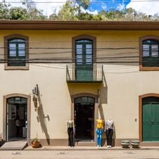
Residência Augusto Ruschi
79.8 km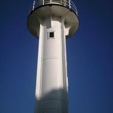
São Mateus Lighthouse
95.9 km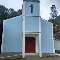
Igrejinha
85.4 km
Cine Ritz Aracruz
62.6 km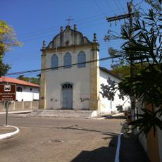
Igreja Católica de Santa Cruz
78.9 km
Cine São Mateus
79.2 km
Cine Ritz Conceição
30.7 km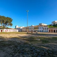
Núcleo Histórico do Porto de São Mateus
79.4 km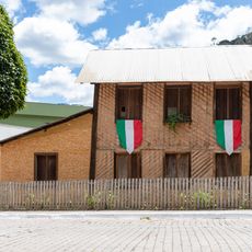
Virgilio Lambert Residence
79.7 km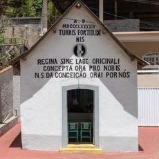
Capela de Nossa Senhora da Conceição
79.7 kmReviews
Visited this place? Tap the stars to rate it and share your experience / photos with the community! Try now! You can cancel it anytime.
Discover hidden gems everywhere you go!
From secret cafés to breathtaking viewpoints, skip the crowded tourist spots and find places that match your style. Our app makes it easy with voice search, smart filtering, route optimization, and insider tips from travelers worldwide. Download now for the complete mobile experience.

A unique approach to discovering new places❞
— Le Figaro
All the places worth exploring❞
— France Info
A tailor-made excursion in just a few clicks❞
— 20 Minutes