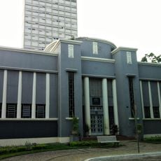
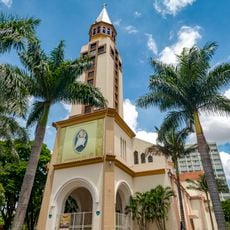
Orizona, Municipality in Goiás, Brazil
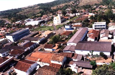
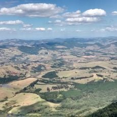
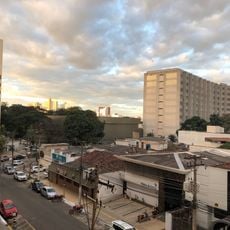
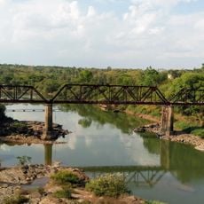
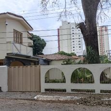
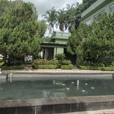
Orizona is a municipality in Goiás state located at an elevation of around 774 meters across approximately 1,972 square kilometers of land. The area sits about 138 kilometers from the state capital Goiânia and connects to neighboring cities through highways BR-357 and GO-330.
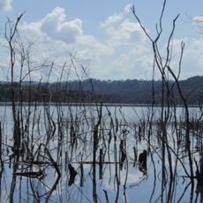
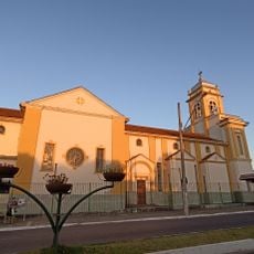
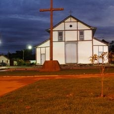
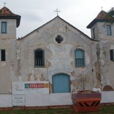
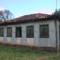
The settlement began in 1850 when Joaquim Fernandes de Castro and José Pereira Cardoso built a chapel on the banks of Ribeirão Santa Bárbara. This founding established the basis for the community that would develop in the region.
The municipality reflects agricultural traditions through local festivals centered on dairy production practices. These regional customs connect small-scale farmers with their daily work in milk processing and farming activities.
Visitors can reach the municipality through highways BR-357 and GO-330, which provide good connections to neighboring towns. The best time to explore is during local festivals when agricultural activities and traditional crafts are on display.
The municipality is home to around 30 distilleries producing cachaça from local sugarcane. This makes it a notable center for this traditional Brazilian spirit and draws visitors interested in regional spirits and their production methods.
Location: Goiás
Inception: 1850
Elevation above the sea: 774 m
Shares border with: São Miguel do Passa Quatro, Pires do Rio, Ipameri, Luziânia, Silvânia, Urutaí, Vianópolis
GPS coordinates: -17.03083,-48.29583
Latest update: December 8, 2025 13:43
Estádio da Serrinha
108.8 km
Monumento às Três Raças
109.5 km
Monumento Solarius
116.8 kmAutódromo Internacional Ayrton Senna
101.8 km
Praça Cívica
109.5 km
Estádio Annibal Batista de Toledo
103.8 km
Parque Estadual da Serra de Caldas Novas
96.6 km
Palácio Pedro Ludovico
109.4 km
Museu de Arte de Goiânia
110 km
Grande Hotel de Goiânia
109.8 km
Museu Zoroastro Artiaga
109.4 km
Altamiro de Moura Pacheco State Park
105.7 km
Our Lady Help of Christians Cathedral, Goiânia
109.3 km
Museu Pedro Ludovico Teixeira
109.8 km
Fórum
109.8 km
Igreja do Sagrado Coração de Maria
109.6 km
Estação Ferroviária de Pires do Rio
29.8 km
Igreja de Nosso Senhor do Bonfim
53.3 km
Igreja de Nossa Senhora do Rosário
94.8 km
Ponte Epitácio Pessoa
36.9 km
Museu Ferroviário de Pires do Rio
30 km
Fontes Luminosas
109.6 km
Coreto
109.5 km
Prédio da Justiça Federal
109.2 km
Latif Sebba Viaduct
109.6 km
Palácio do Governo
109.5 km
Quilombo Mesquita
109.7 km
Cinemais Anápolis
105.2 kmVisited this place? Tap the stars to rate it and share your experience / photos with the community! Try now! You can cancel it anytime.
Discover hidden gems everywhere you go!
From secret cafés to breathtaking viewpoints, skip the crowded tourist spots and find places that match your style. Our app makes it easy with voice search, smart filtering, route optimization, and insider tips from travelers worldwide. Download now for the complete mobile experience.
A unique approach to discovering new places❞
— Le Figaro
All the places worth exploring❞
— France Info
A tailor-made excursion in just a few clicks❞
— 20 Minutes