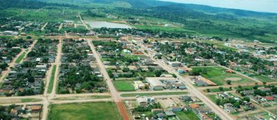
Novo Progresso, Administrative division and municipality in Pará, Brazil.
Novo Progresso is a municipality in Pará located along the BR-163 highway in the northern part of Brazil. The town sits in a region with consistently warm weather throughout the year and serves as a local administrative center for the surrounding area.
The municipality was founded in 1979 when Surfurino Ribeiro established the first settlement along the Santarém-Cuiabá route. Growth followed as more people came to pursue agricultural activities in the newly opening region.
The Second Junina Festival brings people together to celebrate regional traditions and strengthen community bonds through festive gatherings. The event reflects how residents here maintain their roots and mark important moments in the calendar year with their neighbors.
The area stays warm year-round, so bring light clothing and prepare for rain during wetter months. Basic services are available in town, though visitors should plan ahead for any specific needs they may have.
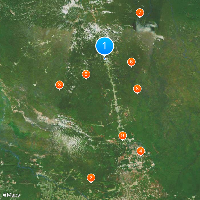
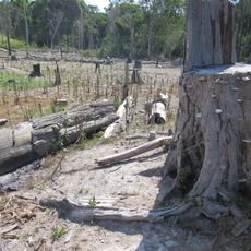
The territory contains three major protected areas including the Nascentes da Serra do Cachimbo Reserve, Rio Novo National Park, and Jamanxim National Forest. These spaces preserve important ecosystems and make the region significant for conservation efforts.
Location: Pará
Elevation above the sea: 240 m
Shares border with: Itaituba, Alta Floresta, Altamira, Guarantã do Norte, Jacareacanga, Novo Mundo
GPS coordinates: -7.14694,-55.38194
Latest update: December 7, 2025 10:01
Kuhikugu
651.8 km
Amazônia National Park
341.9 km
João Fona cultural centre
531.6 km
Carajás National Forest
588.6 km
Juruena National Park
315.1 km
Tapajós hydroelectric complex
300.2 km
Cristalino State Park
266.4 km
National Forest Tapajós
405.5 km
Kayapó Indigenous Territory
392.3 km
Serra do Pardo National Park
310.7 km
Apyterewa Indigenous Territory
404.7 km
Jamanxim National Park
165.5 km
Rio Novo National Park
117.6 km
Juma Sustainable Development Reserve
565.2 km
Terra do Meio Ecological Station
407.7 km
Jamanxim National Forest
59.3 km
Trincheira/Bacajá Indigenous Territory
510.7 km
Tapajós Environmental Protection Area
163.2 km
Tapirapé Biological Reserve
555.5 km
Xingu State Park
427.4 km
Terra Indígena Koatinemo
470.2 km
Tapajós-Arapiuns Extractive Reserve
418.1 km
Crepori National Forest
193 km
Itaituba II National Forest
247.2 km
Trairão National Forest
250 km
Terra Indígena Panará
286.8 km
Rio Xingu Extractive Reserve
426.3 km
Borba Cathedral
558.6 kmVisited this place? Tap the stars to rate it and share your experience / photos with the community! Try now! You can cancel it anytime.
Discover hidden gems everywhere you go!
From secret cafés to breathtaking viewpoints, skip the crowded tourist spots and find places that match your style. Our app makes it easy with voice search, smart filtering, route optimization, and insider tips from travelers worldwide. Download now for the complete mobile experience.
A unique approach to discovering new places❞
— Le Figaro
All the places worth exploring❞
— France Info
A tailor-made excursion in just a few clicks❞
— 20 Minutes