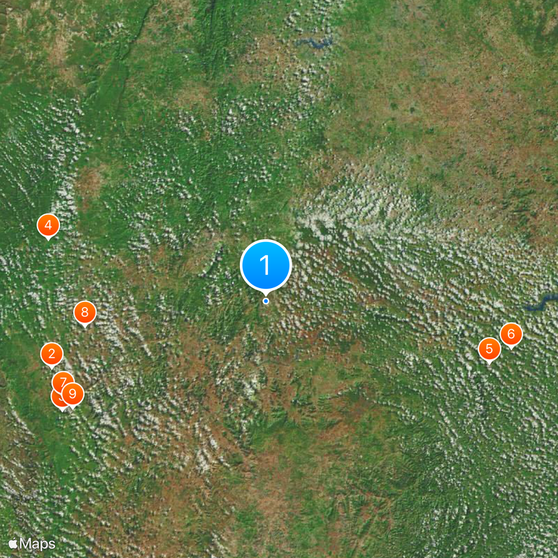
Itaberaba, Municipality in Bahia state, Brazil.
Itaberaba is a municipality in northeastern Bahia that spreads across rolling terrain in the interior. The landscape is shaped by agricultural activities, with pineapple farming being the dominant land use throughout the region.
European settlement began in 1768 when Captain Manuel Rodrigues Cajado established the São Simão farmstead. This foundation led to the gradual growth and development of the community.
The town carries the heritage of the Maracás Indians, a warrior people of the Tapuia group who lived in this land before European settlement arrived. Their legacy lives on in local place names and regional traditions.
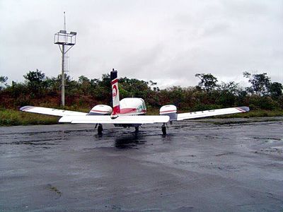
The region has moderate to warm temperatures throughout the year, with varying rainfall patterns across seasons. Visitors should expect travel over longer distances as this is a rural agricultural area with dispersed services.
This region has become the leading pineapple producer in Bahia, earning a distinctive place in the state's agricultural economy. The focus on this crop shapes both the landscape and the local economic life significantly.
Location: Bahia
Elevation above the sea: 274 m
Shares border with: Boa Vista do Tupim, Ruy Barbosa, Iaçu, Ipirá, Rafael Jambeiro
GPS coordinates: -12.52778,-40.30694
Latest update: December 20, 2025 02:31
Poço Azul
95.8 km
Poço Encantado
98.3 km
Instituto Ponte Nova
96.8 kmAntiga Sede da Fazenda Curralinho
99.1 kmChapel of Saint Joseph of Genipapo
107 kmMorro da Arara
95.4 km
Gruta da Marota
78.1 km
Lapa do Bode
94.2 kmGruta da Paixão
78.4 kmGrace Memorial Hospital
97.5 km
Monumento ao Aguadeiro
433 mQuilombo Campo Grande
74.3 kmCapela de Santo Antônio da Vila João Amaro
30.5 kmBandeira de Melo
78.4 kmCruzeiro de Itaberaba
749 mConjunto Arquitetônico Ruy Barbosa
33.6 kmQuilombo Bananeiras
87.1 kmManguinhas
102.2 kmQuilombo Bairro das Flores
35.1 kmQuilombo Jequitibá
77.6 kmQuilombo Caboclo
81.3 kmQuilombo Entre Morro
64.5 kmMuseu Evolução da Informática e Tecnologia
93.2 kmMuseu Último Quilombo
35.3 kmCave Church
73.6 kmMonte de Itaberaba
918 mCentro Cultural
88.8 kmEntroncamento Boa Vista do Tupim
18.8 kmVisited this place? Tap the stars to rate it and share your experience / photos with the community! Try now! You can cancel it anytime.
Discover hidden gems everywhere you go!
From secret cafés to breathtaking viewpoints, skip the crowded tourist spots and find places that match your style. Our app makes it easy with voice search, smart filtering, route optimization, and insider tips from travelers worldwide. Download now for the complete mobile experience.
A unique approach to discovering new places❞
— Le Figaro
All the places worth exploring❞
— France Info
A tailor-made excursion in just a few clicks❞
— 20 Minutes