Juazeiro, Agricultural trade center in Bahia, Brazil
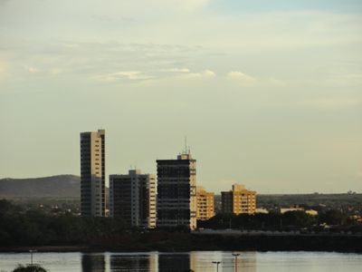
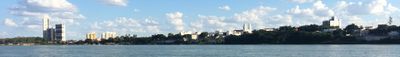
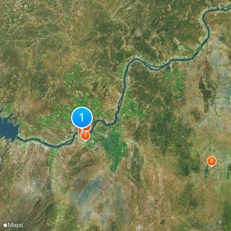
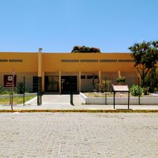
Juazeiro is a city on the São Francisco River in Bahia state, Brazil. It sits on the right bank opposite Petrolina and forms an economic center in the northeastern interior, surrounded by dry vegetation and irrigated farmland.
The settlement began as a landing point for traders crossing the Brazilian hinterland, named after native juazeiro trees along the riverbank. During the 19th century, the site grew into a trading post for agricultural goods and livestock from the arid interior.
Local artisans craft wooden figures called Carrancas from native timber, blending human features with mythological creatures. Originally attached to riverboat prows for protection, these carvings now appear in workshops and markets throughout the area.
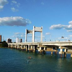
A bridge links the city to Petrolina on the opposite riverbank, where restaurants and shops are located. Walking along the waterfront offers a good way to explore the surroundings, while daytime heat suggests a slower pace.
Irrigation systems along the river allow fruit and vegetable cultivation in one of Brazil's driest areas. Between irrigated fields and barren land, a sharp contrast becomes visible when passing through the surrounding countryside.
Location: Bahia
Inception: 1833
Elevation above the sea: 368 m
Shares border with: Campo Formoso, Petrolina, Curaçá, Jaguarari, Lagoa Grande, Santa Maria da Boa Vista, Sobradinho
Website: http://juazeiro.ba.gov.br
GPS coordinates: -9.41389,-40.50278
Latest update: December 12, 2025 22:57
Ponte Presidente Dutra
982 m
Museu do Sertão
2.2 km
Fundação Museu Regional Do São Francisco
2.3 kmAqueduto do Horto Florestal
2.3 kmConjunto Arquitetônico em Estilo Neorrenascentista da Estação Ferroviárianda Estrada de Ferro Leste Brasileiro
1.9 kmCinemark Juazeiro
5 kmCaraibas B1
72.6 kmQuilombo Alagadiço
2.2 kmQuilombo Barrinha da Conceição
2.6 kmQuilombo Afranto
4.2 kmMuseu de Fauna da Caatinga
5.4 kmQuilombo Rodeadouro
5.1 kmQuilombo Fandango
1.7 kmCentro de Arte e Cultura Ana das Carrancas
2.8 kmPonta da ilha
1 kmPedra do bode
2.5 kmPraça do Bambuzinho
2 kmVista de Vermelhos
56.2 kmBodódromo
3.7 kmVista de Vermelhos
56.2 kmConcha Acústica
1.7 kmBalneário do Chico Periquito
33.9 kmCasa de arte/pintura
5.8 kmEscultura em homenagem ao motochico.
2.9 kmMãe d'água
987 mItamotinga
56.8 kmWork of art
1.6 kmScenic viewpoint
17.1 kmVisited this place? Tap the stars to rate it and share your experience / photos with the community! Try now! You can cancel it anytime.
Discover hidden gems everywhere you go!
From secret cafés to breathtaking viewpoints, skip the crowded tourist spots and find places that match your style. Our app makes it easy with voice search, smart filtering, route optimization, and insider tips from travelers worldwide. Download now for the complete mobile experience.
A unique approach to discovering new places❞
— Le Figaro
All the places worth exploring❞
— France Info
A tailor-made excursion in just a few clicks❞
— 20 Minutes