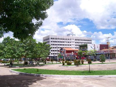
Imperatriz, Administrative center in Maranhão, Brazil.
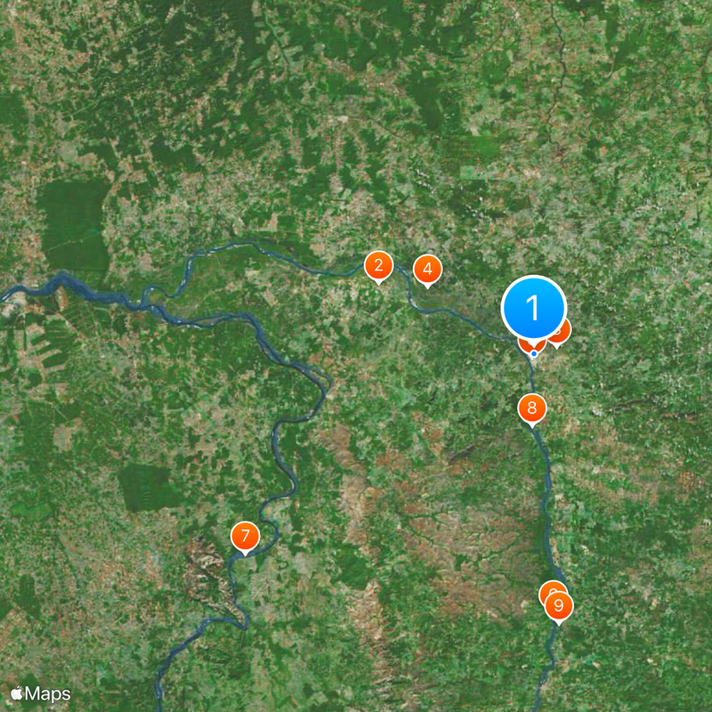
Imperatriz is a municipality in Maranhão that stretches along the banks of the Tocantins River and benefits from highway access and rail connections. The place serves as a key transport hub in the southern part of the state.
The settlement was founded in 1852 as a small riverside community. Trade and farming helped the place grow into the second most populated center in Maranhão.
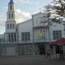
The city takes its name from an earlier figure of reverence and today hosts open-air film screenings in public squares. Local artists perform regularly, supported by municipal programs that encourage community participation in artistic events.
The city provides information points for public services such as environmental questions, traffic updates and emergency contacts. Visitors can reach out to dedicated helplines if they need orientation or assistance during their stay.
In 2023 the city received official status as the second capital of Maranhão. A week in March is now dedicated to this recognition and is observed each year with celebrations.
The community of curious travelers
AroundUs brings together thousands of curated places, local tips, and hidden gems, enriched daily by 60,000 contributors worldwide.