Extremo Norte do Tocantins Extractive Reserve, Nature reserve in Carrasco Bonito, Brazil.
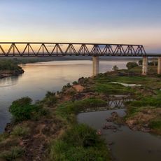
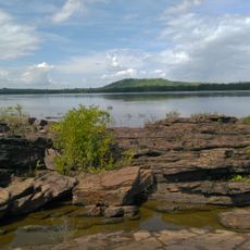
The Extremo Norte do Tocantins Extractive Reserve is a protected area spanning about 9,280 hectares of native vegetation across parts of Sampaio and Carrasco Bonito municipalities in Tocantins state. The reserve was created specifically to protect natural resources while supporting the traditional communities that live within it.
The Brazilian federal government established this protected area in May 1992 in response to the need to safeguard both natural resources and the way of life of local populations. Its creation reflected a growing recognition of the importance of preserving traditional communities and their lands.
Local residents practice traditional babassu palm processing, with women primarily handling the harvest while men focus on farming. This division of labor shapes the daily rhythm and economic activities of the communities living here.
To visit the reserve, you need permission from ICMBio, Brazil's environmental agency, before arriving. Any planned activities such as research or observation work should be arranged in advance with the authorities.
The reserve is managed through a deliberative council that includes representatives from government agencies and non-governmental organizations who work together on land use and resource extraction rules. This shared management structure between state and civil society is what sets this approach apart.
The community of curious travelers
AroundUs brings together thousands of curated places, local tips, and hidden gems, enriched daily by 60,000 contributors worldwide.