Heliópolis, Administrative division in Bahia, Brazil
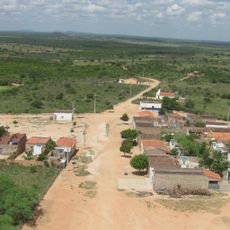
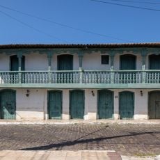
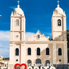
Heliópolis is an administrative division in Bahia, Brazil, with defined boundaries and governance structures that provide public services to residents. The municipality combines urban and rural zones with distinct purposes for the population.
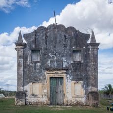
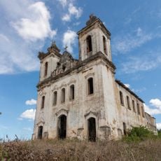
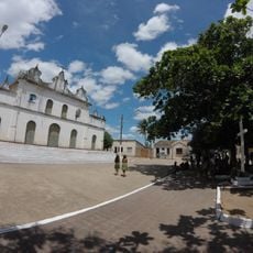
The area developed from scattered settlements that were later organized into an official administrative unit. This reorganization was part of a broader restructuring of municipal boundaries in Bahia state.
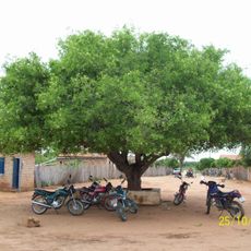
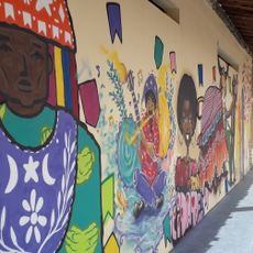
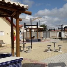
Residents gather regularly at the central square, where regional foods and music reflect northeastern Brazilian traditions. These meetings show how the community maintains its local identity through everyday gatherings.
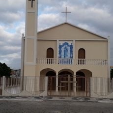
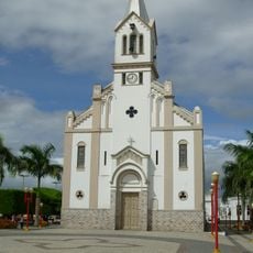
The town center has schools, health facilities, and government offices that are accessible to visitors. It helps to check which services are available and where they are located before planning a visit.
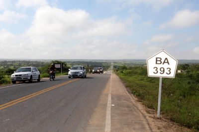
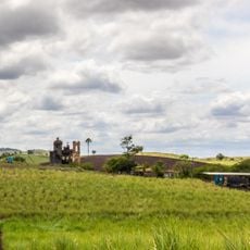
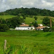
The municipality has a strong mix of agricultural land and residential zones that coexist side by side. This division creates distinct areas with their own purpose and character.
GPS coordinates: -10.67534,-38.28153
Latest update: December 8, 2025 13:41
Serra de Itabaiana National Park
102.6 km
Parish Church of Our Lady of Victory
123.3 km
Parque dos Falcões
99.3 km
Bela Vista
103.9 km
Cachoeira do Inferno
94.8 km
Conjunto Arquitetônico, Urbanístico, Natural e Paisagístico da Serra do Monte Santo
118.8 km
Chapel of Our Lady of the Conception of Engenho Poxim
116.7 km
Chapel of the Nossa Senhora da Penha Sugar Plantation
115 km
Serra Branca / Raso da Catarina Environmental Protection Area
87.3 km
Capela do Engenho Nossa Senhora da Penha
115 km
Resina
106.2 km
Fachadas Revestidas de Azulejos Portugueses--Rua Capitão Salomão nº. 67
113.4 km
Capela do Antigo Engenho Jesus, Maria e José
118.8 km
Igreja da Ordem Terceira do Carmo (São Cristóvão)
123.4 km
Church and Convent of Mount Carmel
123.4 km
Usina São Félix
117.9 km
Sobrado at Rua da Matriz
123.4 km
Parish Church of Santa Luzia do Itanhy
118.1 km
Igreja de Nossa Senhora do Rosário
113.4 km
Centro Cultural de Araci
105.1 km
Igreja de Nossa Senhora da Conceição do Raso de Araci
105 km
Igreja Matriz do Senhor da Ascensão
38.4 km
Igreja e Cruzeiro – Crisópolis
94.2 km
Cine Laser Itabaiana
94 km
Mother Church of Nossa Senhora da Boa Hora and São Roque (Campo do Brito/SE)
86.6 km
Museum of the City of Araci
105.1 km
Igreja Matriz de Senhora Santana
52.2 km
Praça da Cultura e Juventude
105 kmVisited this place? Tap the stars to rate it and share your experience / photos with the community! Try now! You can cancel it anytime.
Discover hidden gems everywhere you go!
From secret cafés to breathtaking viewpoints, skip the crowded tourist spots and find places that match your style. Our app makes it easy with voice search, smart filtering, route optimization, and insider tips from travelers worldwide. Download now for the complete mobile experience.
A unique approach to discovering new places❞
— Le Figaro
All the places worth exploring❞
— France Info
A tailor-made excursion in just a few clicks❞
— 20 Minutes