Ribeira do Pombal, Administrative municipality in Bahia, Brazil.
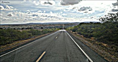
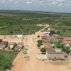
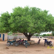
Ribeira do Pombal is an administrative municipality in northeastern Bahia spread across rural territory. The town center and surrounding areas sit within an agricultural landscape marked by farmland and scattered communities.
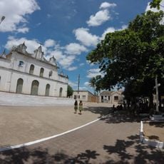
The municipality grew from a small settlement through agricultural expansion and the establishment of administrative structures. Over time it became an established center managing the surrounding rural region.
Residents practice regional traditions through music festivals and dance events that happen throughout the year. These celebrations connect to the rural way of life and the farming cycles that shape the community.
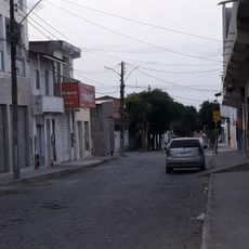
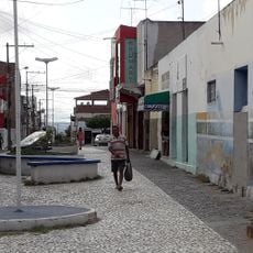
The town is accessible by car and offers basic services like small shops and local restaurants. Visitors should know the infrastructure is typical for a rural administrative center without extensive modern amenities.
The municipality shows an interesting pattern of development and challenges found across northeastern Brazil. The place maintains its rural character while serving modern administrative functions, reflecting the typical contrasts of many Brazilian provincial towns.
The community of curious travelers
AroundUs brings together thousands of curated places, local tips, and hidden gems, enriched daily by 60,000 contributors worldwide.