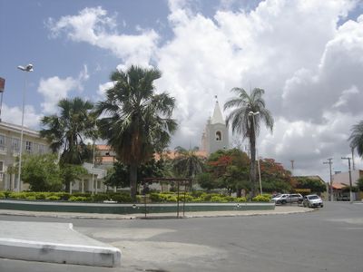
Ouricuri, Administrative district in Pernambuco, Brazil.
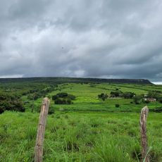
Ouricuri is a municipality in northeastern Brazil located in the semi-arid Sertão region of Pernambuco. The landscape consists of dry, open terrain scattered with small towns and settlements typical of the interior plateau.
The municipality developed as an administrative center during the territorial reorganization of Pernambuco state. This structure established the foundation for how the region is settled today.
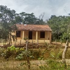
Local families work the land growing corn, beans, and manioc, and these farming activities shape how people spend their days. The work connects residents to the seasons and defines the pace of life in the municipality.
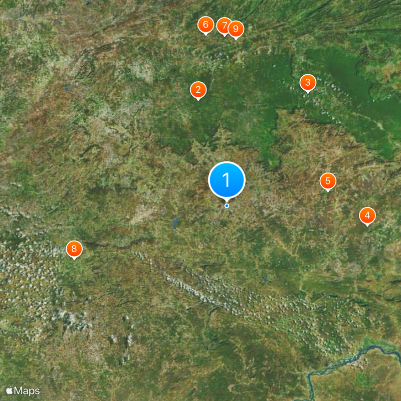
Two main highways connect the municipality to larger cities, making travel relatively straightforward for visitors. Plan to visit during cooler months since heat in the dry season can be intense.
The region sits above one of Brazil's largest gypsum deposits, making it a key mining center for this mineral. This underground wealth has shaped the local economy and industrial activity in ways many visitors do not realize.
Location: Pernambuco
Elevation above the sea: 437 m
Shares border with: Araripina, Santa Cruz, Betânia do Piauí, Bodocó, Curral Novo do Piauí, Ipubi, Parnamirim, Santa Filomena, Simões, Trindade
Website: http://ouricuri.pe.gov.br
GPS coordinates: -7.88278,-40.08194
Latest update: December 19, 2025 23:43
Chapada do Araripe
57.1 km
Floresta Nacional do Araripe-Apodi
72.4 kmNegreiros National Forest
73.7 kmXique-Xique
53.1 kmJoão Luis
89.7 kmPau Preto
88.5 kmQuilombo Baixão
83.7 kmQuilombo Sítio Carcará
86.9 kmQuilombo Laranjo
81.9 kmQuilombo Renascer Lagoa dos Crioulos
85.3 kmQuilombo Serra dos Chagas
76 kmQuilombo Sítio Arruda
74.6 kmQuilombo Belmonte dos Cupiras
89 kmQuilombo Cabaceira
100.8 kmQuilombo Silvino
83.4 kmQuilombo Caetitu
90.2 kmQuilombo Garapa
91.1 kmQuilombo Angical de Cima
100.1 kmQuilombo Chapada do Encanto
101.8 kmQuilombo Amparo
85.7 kmQuilombo Lagoas
85.3 kmMSJ
25.5 kmQuilombo Nossa Senhora das Graças do Sitio Arapuca
83.4 kmMuseu do Gonzagão
57.8 kmParque de Vaquejada
81.6 kmChapada do Araripe
60.1 kmSerra do Inácio
60.5 kmTrilha Pintura Rupestre
111.5 kmVisited this place? Tap the stars to rate it and share your experience / photos with the community! Try now! You can cancel it anytime.
Discover hidden gems everywhere you go!
From secret cafés to breathtaking viewpoints, skip the crowded tourist spots and find places that match your style. Our app makes it easy with voice search, smart filtering, route optimization, and insider tips from travelers worldwide. Download now for the complete mobile experience.
A unique approach to discovering new places❞
— Le Figaro
All the places worth exploring❞
— France Info
A tailor-made excursion in just a few clicks❞
— 20 Minutes