Enable Location

We need your location to show you interesting places around you

Discover nearby places

Find interesting locations and hidden gems around you

Precise directions

Get accurate directions and distances to places

Your location is never shared with other users. It's only used when you tap the location button.

Chapada do Araripe

Log in to your account

Start exploring — it's free

Trusted by 62,572 travelers worldwide

Continue with Google
Continue with Apple
or

We will send you a code to connect

By continuing, you accept our Terms and Conditions and our Privacy Policy

Check your inbox

We've sent a pincode in your inbox. Please enter the code below.

Chapada do Araripe, Protected mountain range in Planalto Nordestino, Brazil.

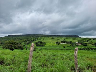
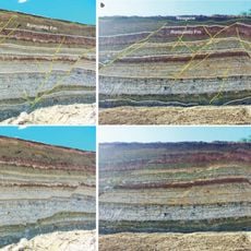
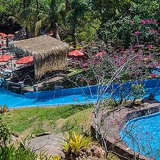
Chapada do Araripe is a limestone plateau that rises above the surrounding landscape in northeastern Brazil. Multiple rivers flow through its valleys and form waterfalls, creating a diverse terrain of rock formations and vegetation layers.

The Cariri indigenous people lived here for generations before conflicts in the 17th century displaced them from the region. This upheaval marked a turning point in how the land was inhabited and used.

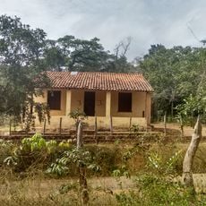
The area shows how people have long depended on its water sources and forests, connections still visible in how local communities live today. Walking through the villages and natural sites, you notice traditions tied closely to the land and its resources.

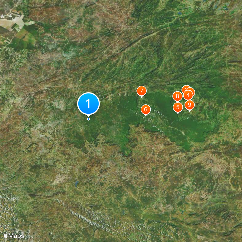
The protected area spreads across several municipalities and can be reached through various access points in the region. Proper footwear and preparation for different elevation levels will help you explore safely and comfortably.

A small bird called the Araripe manakin lives only on this mountain range and was not scientifically documented until 1998. You will not find this species anywhere else in the world, making it a remarkable discovery of this place.

The community of curious travelers

AroundUs brings together thousands of curated places, local tips, and hidden gems, enriched daily by 60,000 contributors worldwide.

Start exploring
Location
Feitoria
Location
Inception
January 1, 1997
Elevation above the sea
851 m
Operator
Instituto Chico Mendes de Conservação da Biodiversidade
Part of
Planalto Nordestino
GPS coordinates
-7.38738,-40.21606
Latest update
December 20, 2025 13:16
« Chapada do Araripe - Protected mountain range in Planalto Nordestino, Brazil » is provided by Around Us (aroundus.com). Images and texts are derived from Wikimedia project under a Creative Commons license. You are allowed to copy, distribute, and modify copies of this page, under the conditions set by the license, as long as this note is clearly visible.

Discover hidden gems everywhere you go!

From secret cafés to breathtaking viewpoints, skip the crowded tourist spots and find places that match your style. Our app makes it easy with voice search, smart filtering, route optimization, and insider tips from travelers worldwide. Download now for the complete mobile experience.

Around Us App Screenshot

A unique approach to discovering new places

Le Figaro

All the places worth exploring

France Info

A tailor-made excursion in just a few clicks

20 Minutes

Around Us
Travel Guide & Maps
Download

Send to your phone

QR Code
1

Open the camera app on your mobile.

2

Point at the QR code with your camera. A notification will appear.

3

Tap the notification to open the link.