
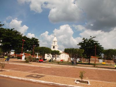
Cocal de Telha, human settlement in Brazil
Location: Piauí
Inception: 1997
Elevation above the sea: 140 m
Shares border with: Capitão de Campos, Boqueirão do Piauí, Campo Maior, Jatobá do Piauí, Nossa Senhora de Nazaré
Website: http://cocaldetelha.pi.gov.br
GPS coordinates: -4.55889,-41.97194
Latest update: March 3, 2025 01:16
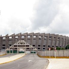
Albertão
110.2 km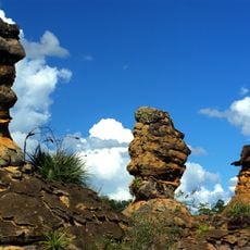
Sete Cidades National Park
58.7 km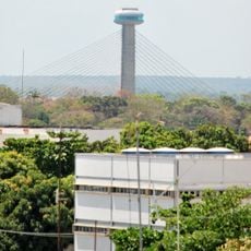
Ponte Estaiada João Isidoro França
108.6 km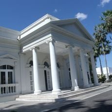
Palácio Karnak
110.4 km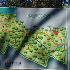
Parque Zoobotânico de Teresina
103.9 km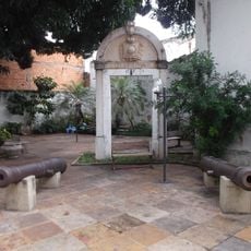
Museu do Piauí
110.9 km
Floresta Fóssil de Teresina
108 km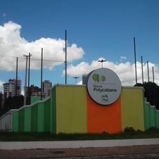
Parque Potycabana
108.4 km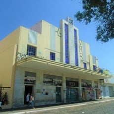
Cine Rex
110.5 km
Serra da Ibiapaba Environmental Protection Area
84.1 km
Biblioteca Estadual do Piauí
110 km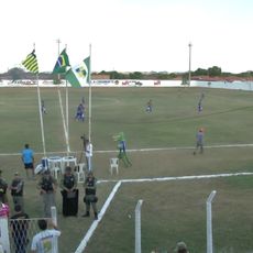
Estádio Municipal Felipe Raulino
74.8 km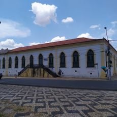
Casa do Barão de Gurguéia
110.9 km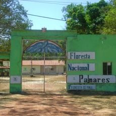
Palmares National Forest
88.2 km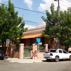
Casa da Dona Carlotinha
110.4 km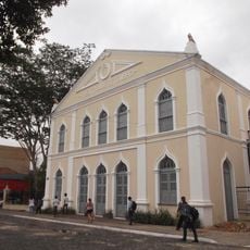
Quatro de Setembro Theater
110.6 km
Batalhão Cemetery
29.8 km
Casarão do Embaixador
38.2 km
Casa de Fazenda da Dona Alemã
11.9 km
Cinemas Teresina
108.1 km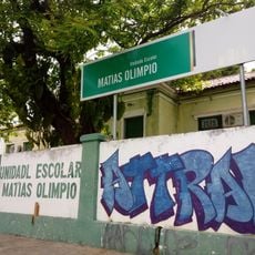
Grupo Escolar Mathias Olympio
109 km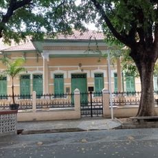
Clube dos Diários
110.6 km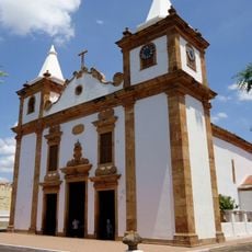
Igreja Matriz de Nossa Senhora do Carmo
75.4 km
Edifício Chagas Rodrigues –DER
109.3 km
Antiga Intendência de Piracuruca
75.3 km
Cinépolis Rio Poty
108.8 km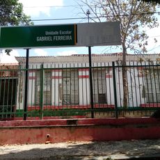
Grupo Escolar Gabriel Ferreira
111 km
Memorial Tertuliano Brandão Filho
58.8 kmReviews
Visited this place? Tap the stars to rate it and share your experience / photos with the community! Try now! You can cancel it anytime.
Discover hidden gems everywhere you go!
From secret cafés to breathtaking viewpoints, skip the crowded tourist spots and find places that match your style. Our app makes it easy with voice search, smart filtering, route optimization, and insider tips from travelers worldwide. Download now for the complete mobile experience.

A unique approach to discovering new places❞
— Le Figaro
All the places worth exploring❞
— France Info
A tailor-made excursion in just a few clicks❞
— 20 Minutes