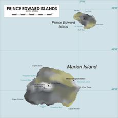
Prince Edward Islands, Volcanic archipelago in Western Cape, South Africa.
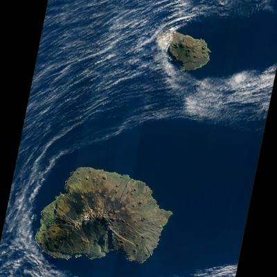
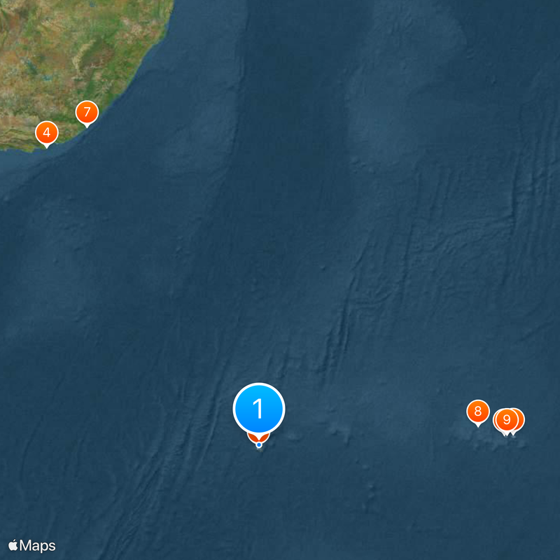
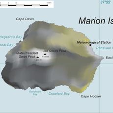
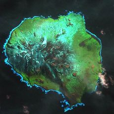
Prince Edward Islands form a volcanic pair in the southern Indian Ocean, sitting at 46 degrees south between Africa and Antarctica. Marion Island and Prince Edward Island rise from deep ocean waters about 1200 miles southeast of Cape Town, surrounded by cold currents and frequent storms.
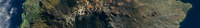
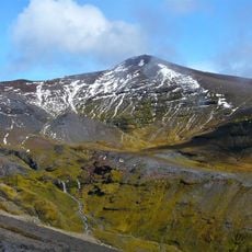
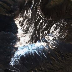
A Dutch East India Company captain first sighted these islands in 1663 while sailing toward Batavia. The volcano on Marion Island erupted in 1980, surprising researchers who had long assumed it was dormant.
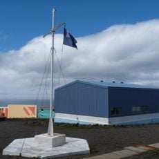
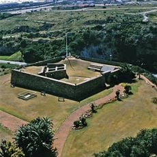
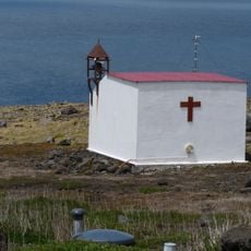
These remote outposts function as research stations where scientists study weather patterns and wildlife throughout the year. Only authorized researchers may set foot on Marion Island, making this territory one of the most restricted natural laboratories in the southern hemisphere.
Rain falls on roughly 320 days each year across both islands, with Marion Island covering around 112 square miles and Prince Edward Island about 17 square miles. Visitors need special permission from South African authorities, as access remains tightly controlled to protect the environment.
The volcano beneath Marion Island rises roughly 16400 feet (5000 meters) from the ocean floor, making it one of the tallest submarine peaks in this part of the world. At the surface, the crater reaches only a few hundred feet above sea level, hiding most of the mountain below the waves.
The community of curious travelers
AroundUs brings together thousands of curated places, local tips, and hidden gems, enriched daily by 60,000 contributors worldwide.