
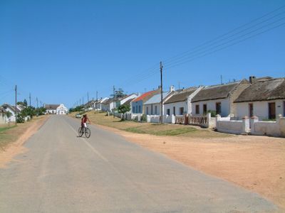
Elim, village in the Western Cape, South Africa
Location: Cape Agulhas Local Municipality
Inception: 1824
GPS coordinates: -34.59167,19.75833
Latest update: March 6, 2025 13:34
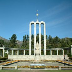
Huguenot Monument (Franschhoek)
95.3 km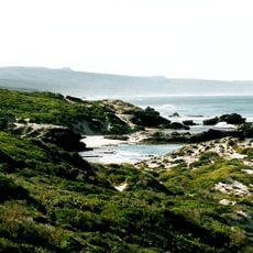
De Hoop Nature Reserve
79.1 km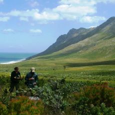
Kogelberg Nature Reserve
93.9 km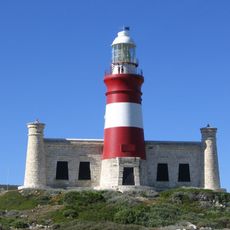
Cape Agulhas Lighthouse
35 km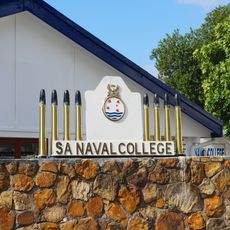
South African Naval College
95.2 km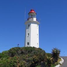
Danger Point Lighthouse
42 km
Harold Porter National Botanical Garden
80.8 km
Fernkloof Nature Reserve
49.4 km
Marloth Nature Reserve
92.2 km
Walker Bay Nature Reserve
37.9 km
Caledon Museum
50.3 km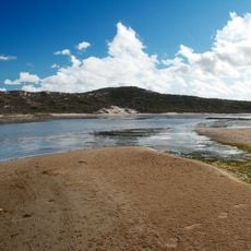
De Mond Nature Reserve
34.5 km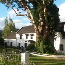
Houw Hoek Inn
70.5 km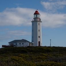
Danger Point (Südafrika)
42.9 km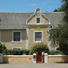
Moravian Mission Museum
62.8 km
Drostdy Museum
90.3 km
Blue Rock Quarry
94.3 km
Percy's Hole
92.2 km
Blousteen Ridge
92.1 km
Kruis
92.3 km
Rooi-els Point
92.8 km
Whirlpool cove
92.3 km
Coral Gardens (Rooi-els)
92.5 km
Container Bay
91.8 km
Blouklip
91.8 km
Balcony
92.2 km
Ankers
92.3 km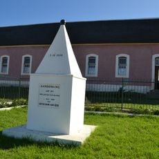
Emancipation Memorial
127 mReviews
Visited this place? Tap the stars to rate it and share your experience / photos with the community! Try now! You can cancel it anytime.
Discover hidden gems everywhere you go!
From secret cafés to breathtaking viewpoints, skip the crowded tourist spots and find places that match your style. Our app makes it easy with voice search, smart filtering, route optimization, and insider tips from travelers worldwide. Download now for the complete mobile experience.

A unique approach to discovering new places❞
— Le Figaro
All the places worth exploring❞
— France Info
A tailor-made excursion in just a few clicks❞
— 20 Minutes