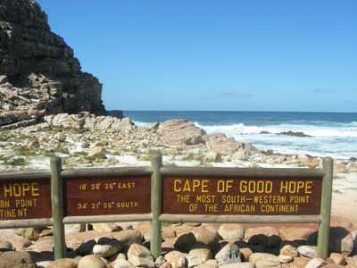
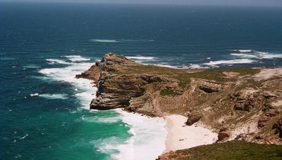
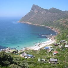
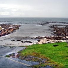
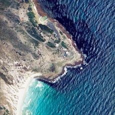
Cape of Good Hope, Rocky headland at Atlantic coast, South Africa
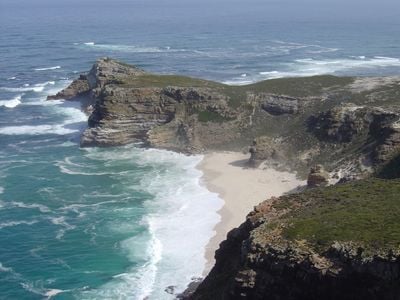
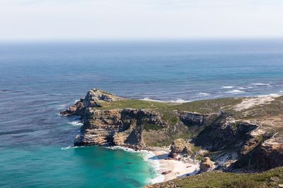
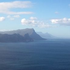
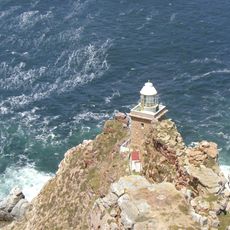
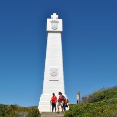
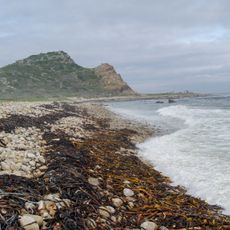
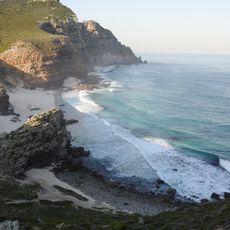
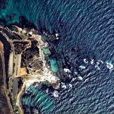
Cape of Good Hope is a rocky granite headland that rises along the Atlantic coast at the southwestern tip of the Cape Peninsula. The cliffs stand roughly 200 meters (656 feet) above sea level, forming a prominent landmark on one of South Africa's most exposed stretches of shoreline.
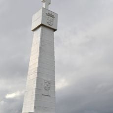
Portuguese navigator Bartolomeu Dias reached this point in 1488 and initially called it Cape of Storms. King John II later renamed the place Cape of Good Hope, underlining the importance of the passage for sea trade toward India.
Many visitors treat the site as a symbolic destination, drawn by the idea of standing at a place known worldwide for its maritime associations. The presence of travelers from different countries gives the headland an international feel, with people often exchanging stories about their journeys.
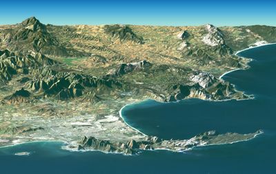
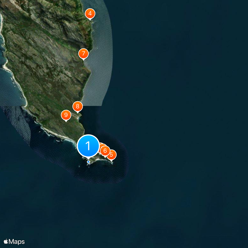
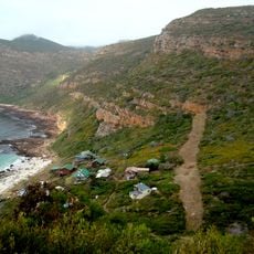
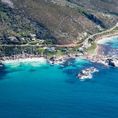
You can reach the site by following the M4 road through Table Mountain National Park, with parking available at the main entrance. Wind can be strong, so bringing a jacket is advisable even if the weather seems mild farther inland.
The site marks the point where vessels traveling along Africa's western coastline from the equator begin sailing more eastward than southward. This geographic feature made the headland a psychological milestone for sailors on long ocean voyages.
The community of curious travelers
AroundUs brings together thousands of curated places, local tips, and hidden gems, enriched daily by 60,000 contributors worldwide.