
Bobbejaanval, cliff in Western Cape, South Africa
Location: Western Cape
Elevation above the sea: 1,201 m
GPS coordinates: -32.26750,21.94556
Latest update: March 8, 2025 16:50
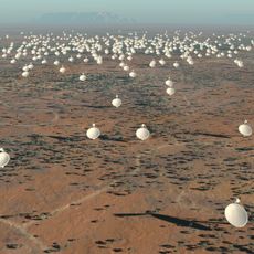
Square Kilometre Array
179.5 km
Cango Caves
127.8 km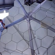
Southern African Large Telescope
107.4 km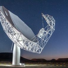
MeerKAT
179.5 km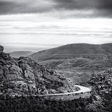
Swartberg
128.2 km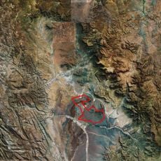
Tankwa Karoo National Park
206.7 km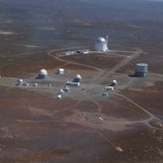
South African Astronomical Observatory
372.8 km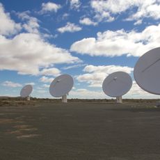
KAT-7
179.5 km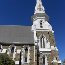
Beaufort West Reformed Church
60.7 km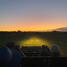
Gondwana Game Reserve
201.9 km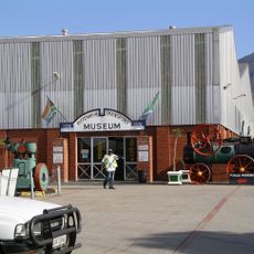
Outeniqua Transport Museum
195.1 km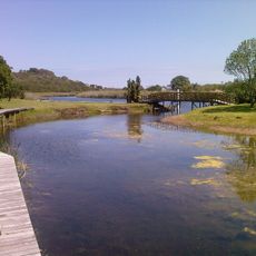
Wilderness National Park
201.5 km
CP Nel Museum
149.4 km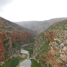
Buffelspoort
158.4 km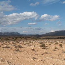
Anysberg Nature Reserve
186.5 km
Gamkaberg Nature Reserve
161.5 km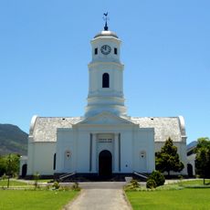
Moederkerk
194.1 km
Roggeveld
116 km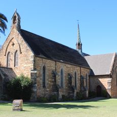
St Mark's Cathedral, George, Western Cape
194.1 km
Swartberg Nature Reserve
120.9 km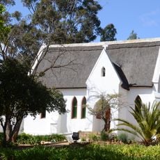
All Saints Church, Uniondale
190 km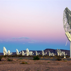
South African Radio Astronomy Observatory
179.5 km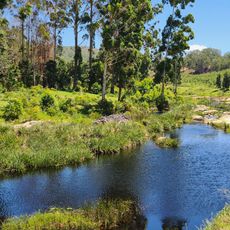
Moordkuil River
201.3 km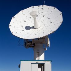
C-BASS South
144.3 km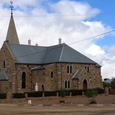
Dutch Reformed Church, Williston
141.8 km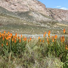
Groot Swartberg Nature Reserve
117.5 km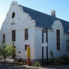
Carnarvon Museum
145.5 km
Botlierskop Private Game Reserve
197.1 kmReviews
Visited this place? Tap the stars to rate it and share your experience / photos with the community! Try now! You can cancel it anytime.
Discover hidden gems everywhere you go!
From secret cafés to breathtaking viewpoints, skip the crowded tourist spots and find places that match your style. Our app makes it easy with voice search, smart filtering, route optimization, and insider tips from travelers worldwide. Download now for the complete mobile experience.

A unique approach to discovering new places❞
— Le Figaro
All the places worth exploring❞
— France Info
A tailor-made excursion in just a few clicks❞
— 20 Minutes