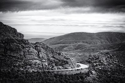
Swartberg, Mountain range and UNESCO World Heritage Site in Western Cape, South Africa.
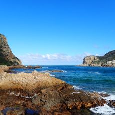
The Swartberg is a major mountain system in South Africa's Western Cape province that stretches roughly 100 kilometers between the Great Karoo and the coastal lowlands. The highest points reach around 2,325 meters (7,625 feet), and the entire range is part of a designated UNESCO World Heritage Site.
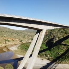
The mountain system served as a natural barrier between regions for thousands of years, shaping human settlement patterns across southern Africa. In the 1880s, engineer Thomas Bain carved the Swartberg Pass through the range, creating a crucial road link that finally connected previously isolated communities on either side.
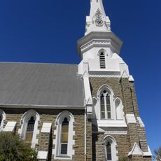
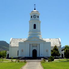
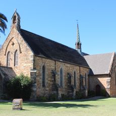
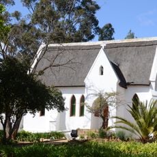
The mountains have shaped the identity of neighboring communities for centuries, and you can see this in how locals speak about and interact with the landscape. The surrounding towns draw their character directly from these commanding peaks, which remain central to how people experience the region today.
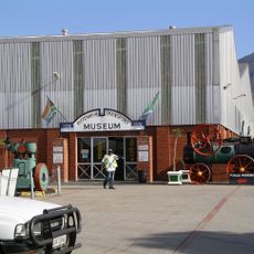
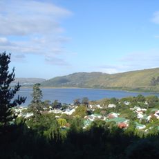
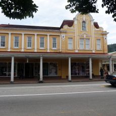
The towns of Oudtshoorn and Prince Albert serve as the main gateways and offer lodging, local guides, and supply options for exploring the mountains. The terrain can be challenging depending on which routes you choose, so check conditions before you go and allow plenty of time for your visit.
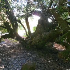
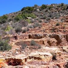
The mountains are home to plant species found nowhere else on Earth, adapted specifically to the sandstone and quartzite rock formations found only here. This botanical rarity is one of the reasons the area holds international recognition for its natural importance.
The community of curious travelers
AroundUs brings together thousands of curated places, local tips, and hidden gems, enriched daily by 60,000 contributors worldwide.