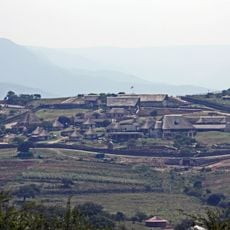
Kliprivier, human settlement in South Africa
Location: Indaka Local Municipality
GPS coordinates: -28.50900,30.29700
Latest update: April 3, 2025 03:03
Nkandla
86.8 km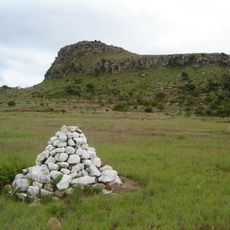
Isandlwana
38.9 km
Mafadi
119.8 km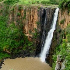
Howick Falls
109 km
Champagne Castle
114.5 km
Spion Kop
77.7 km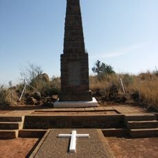
Spion Kop Battlefield Memorials
77.8 km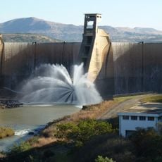
Wagendrift Dam
75.1 km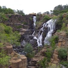
Ncandu Falls
85.9 km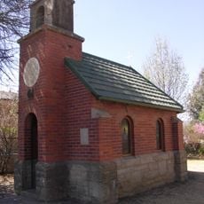
Llandaff Oratory
91.1 km
Spioenkop Dam Nature Reserve
78.3 km
Popple Peak
118.1 km
Mandela Capture Site
107.5 km
EMakhosini Ophathe Heritage Park
99 km
Retief Rock
116.2 km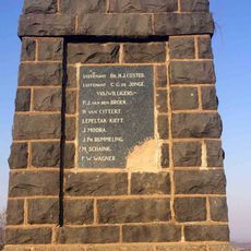
Dutch Corps Monument
35.5 km
Cathkin Peak
111.9 km
Talana Museum
39.5 km
Riserva naturale di Spioenkop
82.4 km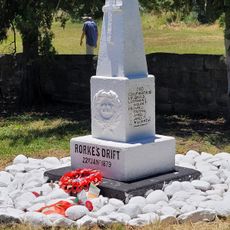
Rorke's Drift Museum
28.8 km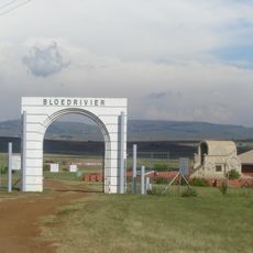
Blood River Memorial
50.9 km
Woodstock Dam Reservoir
109.6 km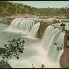
Hart's Hill Falls
49.3 km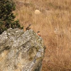
Kamberg Nature Reserve
115.6 km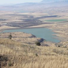
Kilburn Reservoir
117.6 km
Mhlopeni Nature Reserve
57.9 km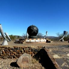
Spirit of eMakhosini
99 km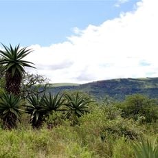
Cumberland Nature Reserve
114.5 kmVisited this place? Tap the stars to rate it and share your experience / photos with the community! Try now! You can cancel it anytime.
Discover hidden gems everywhere you go!
From secret cafés to breathtaking viewpoints, skip the crowded tourist spots and find places that match your style. Our app makes it easy with voice search, smart filtering, route optimization, and insider tips from travelers worldwide. Download now for the complete mobile experience.

A unique approach to discovering new places❞
— Le Figaro
All the places worth exploring❞
— France Info
A tailor-made excursion in just a few clicks❞
— 20 Minutes