Longmere Dam, Stausee in Südafrika
Location: Mpumalanga
Elevation above the sea: 922 m
GPS coordinates: -25.26528,31.00611
Latest update: March 20, 2025 10:15
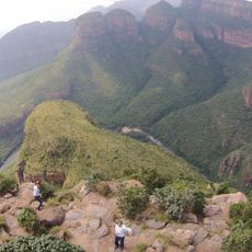
Blyde River Canyon
80.6 km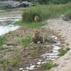
Sabi Sand Private Game Reserve
68.3 km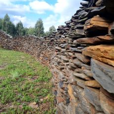
Blaauboschkraal stone ruins
80.9 km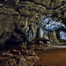
Sudwala Caves
32.9 km
Mala Mala Game Reserve
74.8 km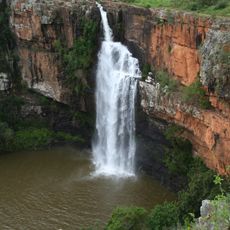
Berlin Falls
49.7 km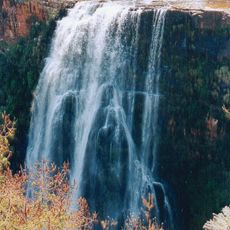
Lisbon Falls
48.2 km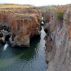
Bourke's Luck Potholes
68.7 km
Djuma Game Reserve
81.9 km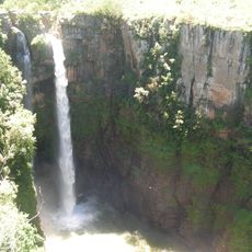
Mac-Mac Falls
35.1 km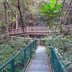
Lowveld National Botanical Garden
20.3 km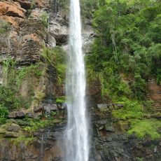
Lone Creek Falls
35 km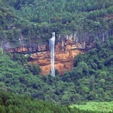
Bridal Veil Falls
35 km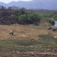
Songimvelo Game Reserve
74.1 km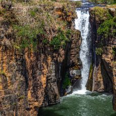
Sabie Falls
30.2 km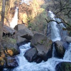
Horseshoe Falls
34.8 km
Pretoriuskop Rest Camp
28.5 km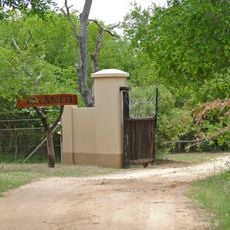
Biyamiti Bushveld Camp
71 km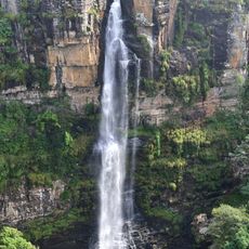
Motitsi Falls
39.5 km
Kleinfontein
79.6 km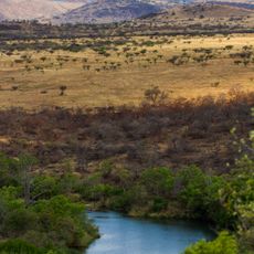
Nkomazi Game Reserve
79.2 km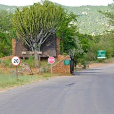
Berg-en-Dal
47.7 km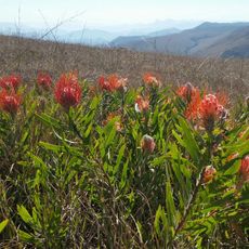
Mountainlands Nature Reserve
54.8 km
Tinga private lodges
65.5 km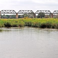
Selati Railway Bridge
66.9 km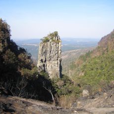
The Pinnacle Rock
42.3 km
Afsaal
53 km
Rhino Plains
76.2 kmReviews
Visited this place? Tap the stars to rate it and share your experience / photos with the community! Try now! You can cancel it anytime.
Discover hidden gems everywhere you go!
From secret cafés to breathtaking viewpoints, skip the crowded tourist spots and find places that match your style. Our app makes it easy with voice search, smart filtering, route optimization, and insider tips from travelers worldwide. Download now for the complete mobile experience.

A unique approach to discovering new places❞
— Le Figaro
All the places worth exploring❞
— France Info
A tailor-made excursion in just a few clicks❞
— 20 Minutes