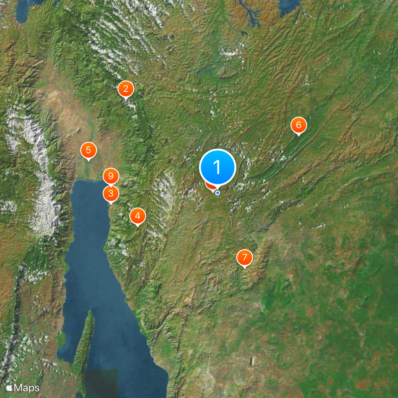
Burundi, East African nation near Lake Tanganyika.
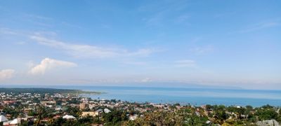
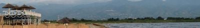
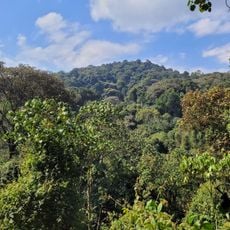
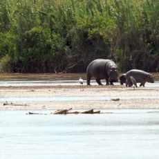
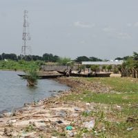
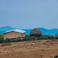
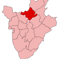
Burundi extends across varied terrain between the Great Lakes of Africa forming a mountainous region with numerous rivers flowing through valleys. Plateaus dominate the central area while lowlands along Lake Tanganyika mark the western boundary and dense settlement concentrates on agriculturally viable land at intermediate elevations where moderate temperatures prevail year round.
The kingdom emerged in the 16th century under the Ganwa dynasty and expanded its territory through systematic expansion over several centuries. Following the Berlin Conference the area became officially part of German East Africa in 1890 and Belgian administration followed after World War I as a League of Nations mandate until independence was achieved in 1962 ending centuries of external control.
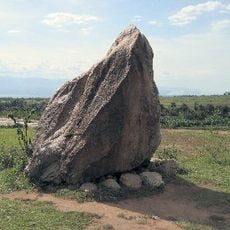
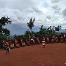
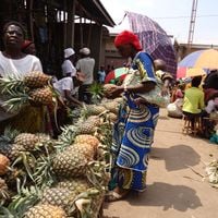
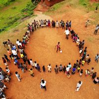
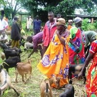
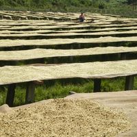
The royal drums have served for centuries as cultural symbols of continuity and power with ceremonial drumming still practiced at state occasions and festivals. Kirundi functions as a shared language connecting different population groups in daily life commerce and local governance while family based agriculture shapes social structures across rural areas where communal labor during planting and harvest seasons remains traditionally organized.
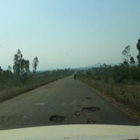
The dry season from June through September offers optimal travel conditions with reduced rainfall and moderate temperatures. International flights arrive at Bujumbura airport from where overland buses and motorcycle taxis connect to other regions while visa requirements mandate advance approval for most visitors and French and Swahili alongside Kirundi are useful for basic communication.
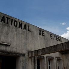
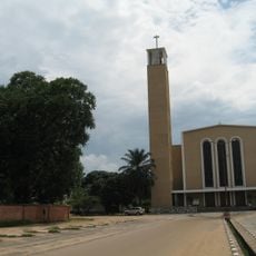
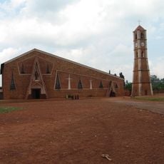
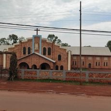
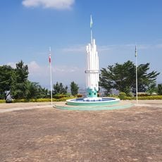
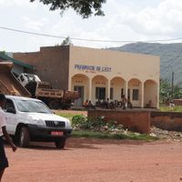
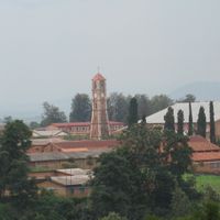
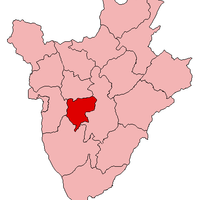
Gitega officially assumed administrative functions as the political center in 2019 while economic activities and diplomatic missions continue to operate from Bujumbura. This division created a split capital structure that balances geographic decentralization with practical continuity of existing infrastructure while government offices relocated gradually to the interior to promote development beyond the lakeside region.
The community of curious travelers
AroundUs brings together thousands of curated places, local tips, and hidden gems, enriched daily by 60,000 contributors worldwide.