Rodrigues, Volcanic island in Indian Ocean, Mauritius
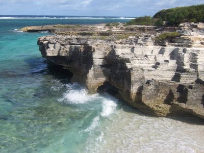
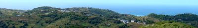
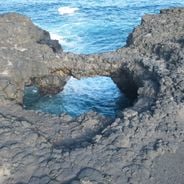
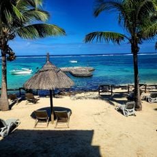
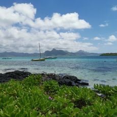
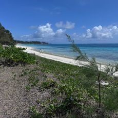
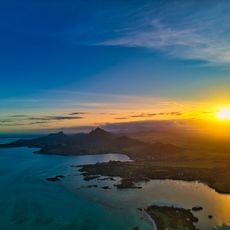
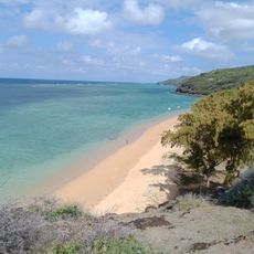
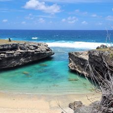
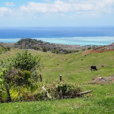
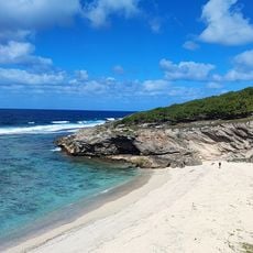
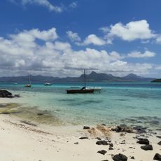
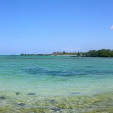
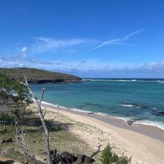
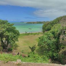
Rodrigues is an island in the Indian Ocean located about 560 kilometers east of the main island of Mauritius, forming part of the same country. The terrain covers 108 square kilometers and consists of rolling hills, valleys and coastal areas, with the highest point rising to 398 meters.
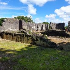
Portuguese navigator Diogo Rodrigues reached the uninhabited island in 1528 and gave it his name. French Huguenot settlers began permanent occupation in 1691, establishing farms, and the island later came under British colonial rule.
The population of 45,000 residents maintains distinct Creole traditions, with 90 percent of inhabitants carrying heritage from African slaves and European settlers.
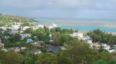
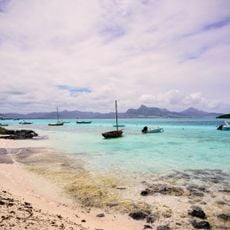
Sir Gaëtan Duval Airport connects the island to the mainland of Mauritius through regular flights that take about an hour and a half. Port Mathurin serves as the main town and offers shops, markets and a ferry connection for cargo traffic.
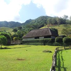
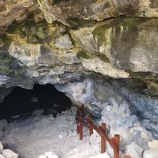
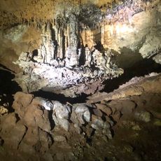
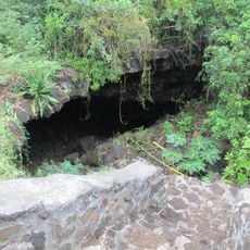
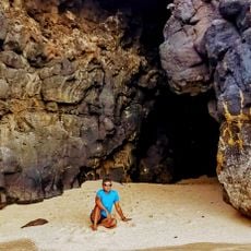
The François Leguat Reserve breeds giant tortoises and works to restore the natural environment that existed before human settlement. Visitors can see recreated caves and native plant species at the facility.
Location: Mauritius
Inception: March 12, 1968
Capital city: Port Mathurin
Elevation above the sea: 398 m
Part of: Mascarene Islands
Website: https://govmu.org/EN/Pages/rodrigues.aspx
GPS coordinates: -19.72000,63.42000
Latest update: December 12, 2025 17:44
Mauritius offers natural places away from tourist centers. The island shows its geological diversity through beaches, waterfalls, and hiking paths. Black River Gorges National Park is home to rare animal and plant species. You can swim in clear water at beaches like La Cuvette and Pointe d'Esny. The...
Blue Bay Public Beach
601.7 km
Vallée de Ferney
601.9 km
Mauritius Radio Telescope
597.8 km
Waterpark
593.6 km
Pointe d'Esny
600.3 km
Stade Auguste Vollaire
598.1 km
Belle Mare Public Beach
592.9 km
La Cave Madame
598.3 km
Parcours de golf de l'Ile aux Cerfs
590.8 km
Pointe d’Esny Public Beach
600.3 km
Fort Frederik Hendrik
600.2 km
Caverne Patate
5.2 km
Anahita Golf Course, Beau Champ, Mauritius
592.2 km
Roche Noire Lava Tubes
599.1 km
The Legend Golf Course - Belle Mare Plage
594.1 km
The Nine
599.8 km
Plage Baladirou
7 km
Anse Bouteille
8.4 km
Tyrolienne
3.8 km
Anse Philibert
8.6 km
Pointe d’Esny Beach
600.3 km
Princess Margaret Cave 3
599.2 km
Out of the Blue
590.3 km
Trou d'argent Beach
8.4 km
Carrière de Corail
4.8 km
Poste Lafayette Public Beach
594.4 km
Anse Fibie
7.6 km
Laplaz Mao
592 kmVisited this place? Tap the stars to rate it and share your experience / photos with the community! Try now! You can cancel it anytime.
Discover hidden gems everywhere you go!
From secret cafés to breathtaking viewpoints, skip the crowded tourist spots and find places that match your style. Our app makes it easy with voice search, smart filtering, route optimization, and insider tips from travelers worldwide. Download now for the complete mobile experience.
A unique approach to discovering new places❞
— Le Figaro
All the places worth exploring❞
— France Info
A tailor-made excursion in just a few clicks❞
— 20 Minutes