Mauritius

Log in to your account

AroundUs is a community-driven map of interesting places, built by curious explorers like you. It grows with every review, story, and photo you share.
Connect to save your favorite spots, contribute locations, and create personalized routes.
By continuing, you accept our Terms and Conditions and our Privacy Policy
Add to collection
Map
Suggest a change
Share

Mauritius, Island nation in Indian Ocean, East Africa

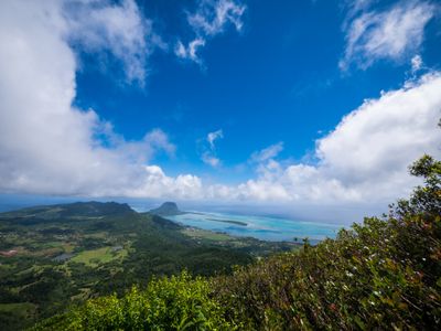
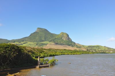
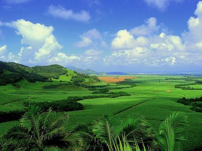
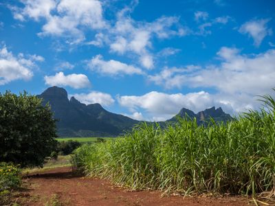
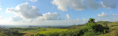
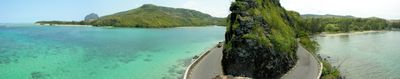
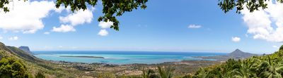
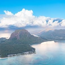
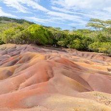
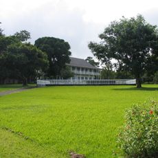
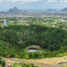
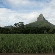
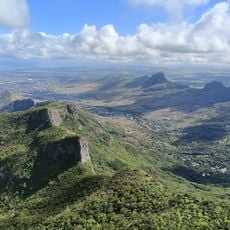
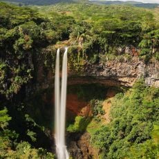
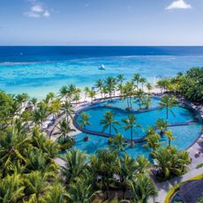
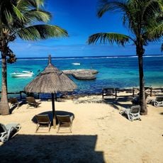
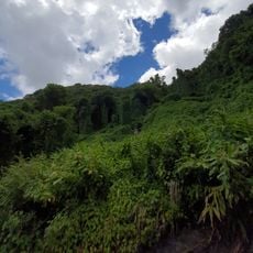
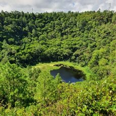
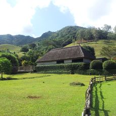
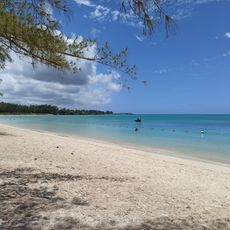
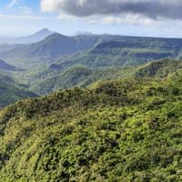
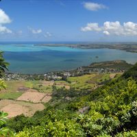
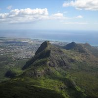
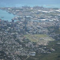
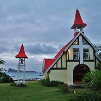
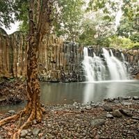
Mauritius is an island nation in the Indian Ocean off the eastern coast of Africa, with a volcanic main island surrounded by coral reefs and lagoons. Sugar cane fields cover much of the interior, while mountains rise in the center and white sand beaches line the coast.

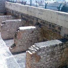
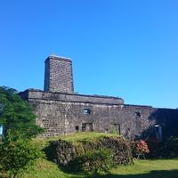
Portuguese sailors reached the uninhabited island in the early 16th century, before the Dutch established a settlement from 1638 and the French later took over administration from 1715. The British controlled the island from 1810 and led it to independence in 1968, when the country gained its first prime minister.

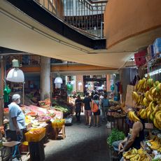
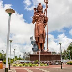
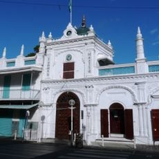
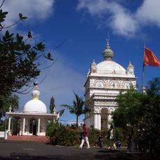
People speak a mix of Mauritian Creole, French, English and several Asian languages in daily conversation, heard in shops, markets and street life across the country. Temples, churches and mosques often stand just a few blocks apart, while festivals like Diwali, Cavadee and the pilgrimage to Père Laval bring together people of different faiths.

The international airport in the southeast offers year-round direct connections to Europe, Asia and Africa, while the months from May to December outside the cyclone season bring the most comfortable travel weather. Multilingual signage helps with orientation, as road signs are often written in both English and French.

The extinct dodo, a flightless bird that lived only here until the mid-17th century, remains the national symbol and appears on the coat of arms, stamps and coins. Many local businesses and organizations use the bird as a mascot or logo, even though no one has seen a living specimen since then.

Location: Dubreuil VCA, Part

Inception: March 12, 1968

Capital city: Port Louis

Part of: East Africa

Shares border with: France, Seychelles, Maldives

Address: Mauritius

Website: http://govmu.org

GPS coordinates: -20.27595,57.57036

Latest update: December 14, 2025 19:22

Photos
Natural places and local culture in Mauritius

Mauritius offers natural places away from tourist centers. The island shows its geological diversity through beaches, waterfalls, and hiking paths. Black River Gorges National Park is home to rare animal and plant species. You can swim in clear water at beaches like La Cuvette and Pointe d'Esny. The...

Reviews

Visited this place? Tap the stars to rate it and share your experience / photos with the community! Try now! You can cancel it anytime.

« Mauritius - Island nation in Indian Ocean, East Africa » is provided by Around Us (aroundus.com). Images and texts are derived from Wikimedia project under a Creative Commons license. You are allowed to copy, distribute, and modify copies of this page, under the conditions set by the license, as long as this note is clearly visible.

Discover hidden gems everywhere you go!

From secret cafés to breathtaking viewpoints, skip the crowded tourist spots and find places that match your style. Our app makes it easy with voice search, smart filtering, route optimization, and insider tips from travelers worldwide. Download now for the complete mobile experience.

Around Us App Screenshot

A unique approach to discovering new places

Le Figaro

All the places worth exploring

France Info

A tailor-made excursion in just a few clicks

20 Minutes