Comoros, Island nation near Madagascar, Indian Ocean.
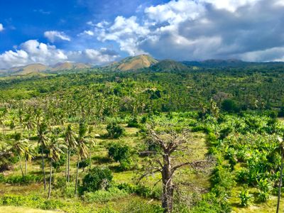
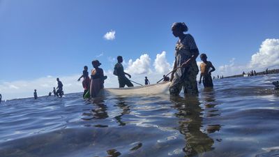
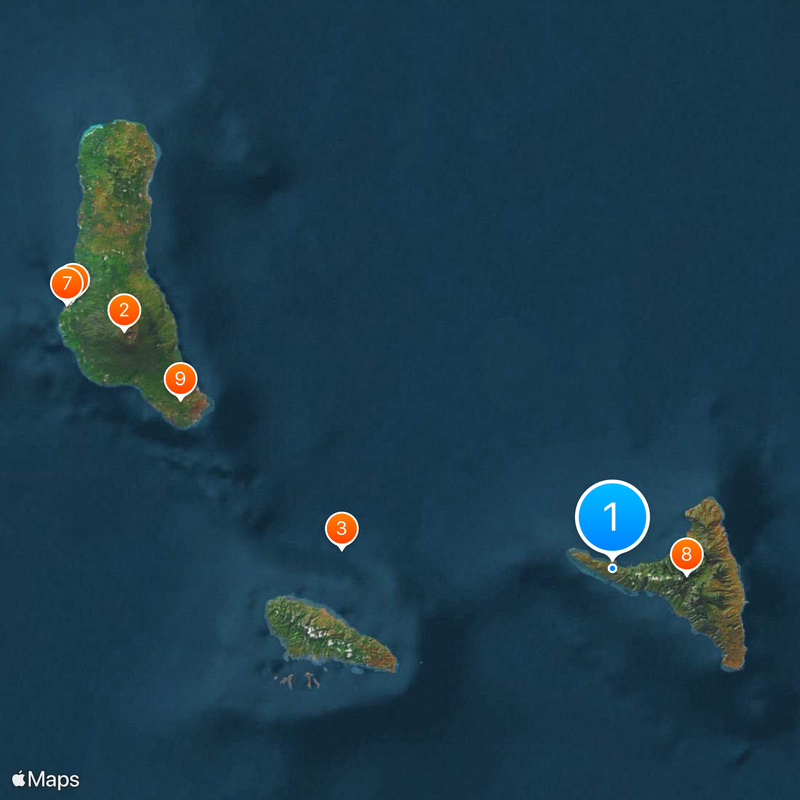
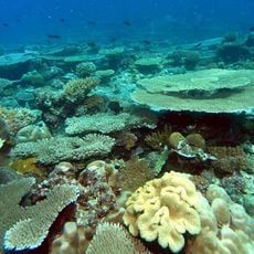
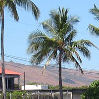
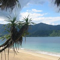
Comoros is an island nation in the Indian Ocean between Madagascar and mainland Africa, consisting of three volcanic islands with steep slopes covered in tropical forests and cultivated terraces. Grande Comore, Anjouan and Mohéli show rugged coastlines, black sand beaches and mountain peaks reaching over 2400 meters (7870 feet), while fishing villages line the shores and agricultural communities occupy inland valleys and hillsides.
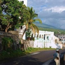
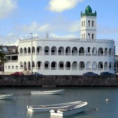
Arab traders established sultanates across these islands starting in the 9th century, creating trade networks between East African coastal settlements and Middle Eastern markets. Portuguese navigators arrived in the 16th century but never established permanent control, leaving the sultanates largely autonomous until French colonization began in the 19th century.
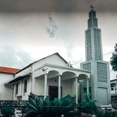
Sunni Islam shapes daily routines on the islands, with mosques marking each village center and the call to prayer echoing through coastal settlements. Traditional wedding ceremonies can last several days, involving elaborate gift exchanges and communal feasts that reflect the importance of family networks.
International flights arrive at Prince Said Ibrahim International Airport on Grande Comore from East African cities and select Gulf states, with small aircraft and ferries connecting the three main islands. Shared taxis operate along paved roads within each island, though many coastal villages remain accessible only by boat.
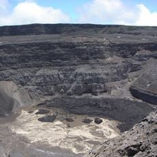
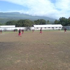
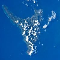
Mount Karthala on Grande Comore contains one of the largest active volcanic craters on Earth, measuring 3 kilometers (1.9 miles) across at its widest point. The last major eruption occurred in 2005, forcing thousands to evacuate, while the lava lake within continues to show activity with occasional gas emissions that affect farming communities on the volcano slopes.
The community of curious travelers
AroundUs brings together thousands of curated places, local tips, and hidden gems, enriched daily by 60,000 contributors worldwide.