
North Pagai, district in Mentawai Islands Regency, West Sumatra Province, Indonesia
Location: Mentawai Islands
Elevation above the sea: 187 m
GPS coordinates: -2.60801,100.10582
Latest update: March 7, 2025 13:22

Mount Kerinci
164 km
Kerinci Seblat National Park
154.7 km
Tropical Rainforest Heritage of Sumatra
155.5 km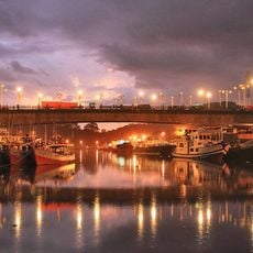
Siti Nurbaya Bridge
185 km
Telun Berasap Falls
171.2 km
Mount Kunyit
157.6 km
Mount Tujuh
179.9 km
Koto Baru Grand Mosque
164.3 km
Mande Rubiah Museum
120.2 km
60 Kurang Aso Mosque
163.9 km
Surau Menara
164.1 km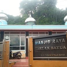
Teluk Bayur Grand Mosque
181.9 km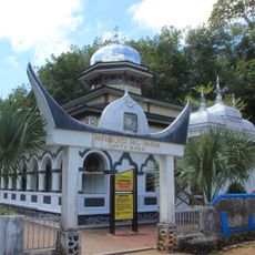
Al-Imam Koto Baru Mosque
127 km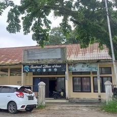
Gallery Sentral Ikan Hias
185 km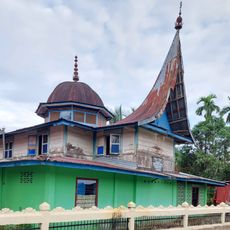
Surau Ampalu Koto Gadang Bungus
179.4 km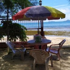
Sungai Nipah Beach
147.4 km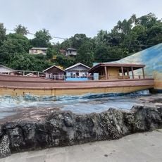
Museum Kapal
184.8 km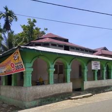
Masjid Tsamaratul Ikhwan Koto Rawang
124.7 km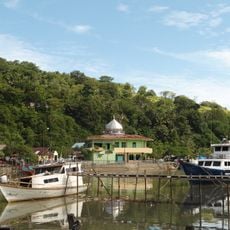
Nurul Huda Batang Arau Mosque
184.9 km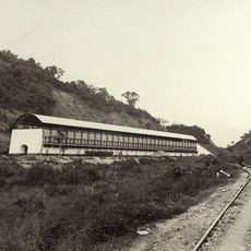
Ombilin Coal Storage
182.5 km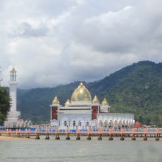
Masjid Samudra Illahi
148.8 km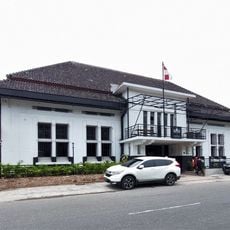
Eks. Kantor PT Amindo Corp
185 km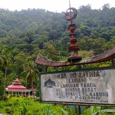
Ijtiha (Lurah) Mosque
179.1 km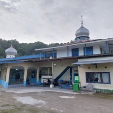
Masjid Muhammadiyah Teluk Bayur
181.8 km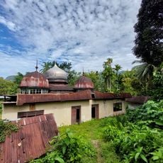
Masjid Jihad Lama Koto Baru
162.6 km
Gereja HKBP TD Pardede Padang
185 km
Eks. Kantor PT Hiswana
185 km
Kompleks Detasemen Perbekalan dan Angkutan 1-44-05 Padang
185 kmReviews
Visited this place? Tap the stars to rate it and share your experience / photos with the community! Try now! You can cancel it anytime.
Discover hidden gems everywhere you go!
From secret cafés to breathtaking viewpoints, skip the crowded tourist spots and find places that match your style. Our app makes it easy with voice search, smart filtering, route optimization, and insider tips from travelers worldwide. Download now for the complete mobile experience.

A unique approach to discovering new places❞
— Le Figaro
All the places worth exploring❞
— France Info
A tailor-made excursion in just a few clicks❞
— 20 Minutes