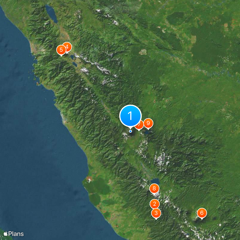
Mount Kerinci, Stratovolcano in Sumatra, Indonesia
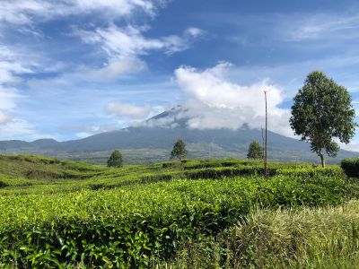
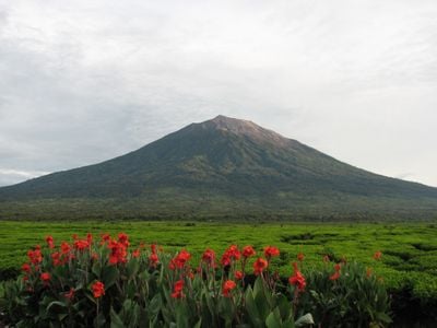
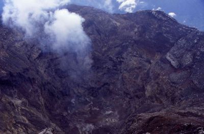
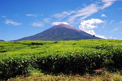
Mount Kerinci is an active stratovolcano in western Sumatra rising to 3,805 meters (12,484 feet), making it the tallest peak on the island. The cone climbs steeply above the rainforest of the national park and holds a crater whose walls are often wrapped in clouds.
Dutch mountaineers reached the summit for the first time in 1877 and documented the volcano's activity. Over the centuries, eruptions have reshaped the crater and left ash fields on the upper slopes.
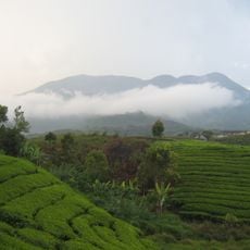
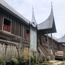
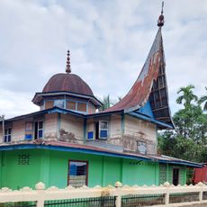
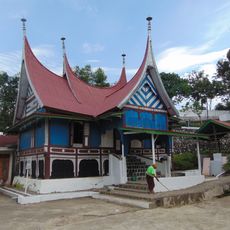
Local villagers call the mountain Gunung Kerinci and many see it as the guardian of their fields and forests. Farmers grow tea and vegetables on its slopes, while travelers often hire guides from the communities at the base of the peak.
The climb starts in Kersik Tuo village and usually takes two days with an overnight stay at a halfway camp. Travelers should hire a local guide and bring warm clothing, as temperatures drop noticeably near the summit.
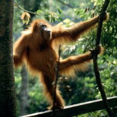
A small lake sits inside the crater, its water often glowing turquoise and ringed by steep rock walls. The surrounding national park is home to Sumatran tigers, which occasionally leave tracks near the hiking trails.
Location: Kerinci
Elevation above the sea: 3,805 m
Part of: Kerinci Highlands
Address: Mount Kerinci, South Lubuk Gadang, Sangir, South Solok Regency, West Sumatra, Indonesia
GPS coordinates: -1.69718,101.26465
Latest update: December 12, 2025 17:54
Sumatra and its surrounding islands hold some of the most remarkable natural wonders and historical landmarks you'll find anywhere. The region spreads across volcanic lakes, dense tropical forests, national parks, and coastlines dotted with temples and palaces. This part of Indonesia is where you...
Kerinci Seblat National Park
83.7 km
Tropical Rainforest Heritage of Sumatra
93.1 km
Mount Talang
103.1 km
Tuo Kayu Jao Mosque
104.7 km
Gunung Masurai
115 km
Telun Berasap Falls
8.4 km
Mount Kunyit
68.7 km
Mount Tujuh
18.3 km
Great Mosque of Solok
120.6 km
Koto Baru Grand Mosque
33.1 km
Mande Rubiah Museum
63.7 km
Surau Latiah
120.1 km
Masjid Tua Siguntur
89.2 km
60 Kurang Aso Mosque
36.9 km
Surau Menara
33.1 km
Al-Imam Koto Baru Mosque
56.5 km
Rumah Gadang 20 Ruang
104 km
Surau Ampalu Koto Gadang Bungus
120.2 km
Sungai Nipah Beach
84.4 km
Surau Tinggi Calau
119.3 km
Solok Islamic Center
118 km
Masjid Tsamaratul Ikhwan Koto Rawang
55.7 km
Masjid Samudra Illahi
86.7 km
Surau Anjuang Tanah Sirah
111 km
Masjid Tuo Sitiung
88.6 km
Pantai Karla
61 km
Surau Ubudiyah
120.4 km
Masjid Jihad Lama Koto Baru
94.5 kmVisited this place? Tap the stars to rate it and share your experience / photos with the community! Try now! You can cancel it anytime.
Discover hidden gems everywhere you go!
From secret cafés to breathtaking viewpoints, skip the crowded tourist spots and find places that match your style. Our app makes it easy with voice search, smart filtering, route optimization, and insider tips from travelers worldwide. Download now for the complete mobile experience.
A unique approach to discovering new places❞
— Le Figaro
All the places worth exploring❞
— France Info
A tailor-made excursion in just a few clicks❞
— 20 Minutes