Mount Kunyit, Stratovolcano in Kerinci region, Jambi, Indonesia
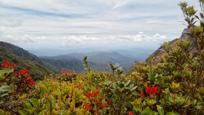
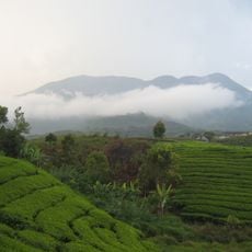
Mount Kunyit is a stratovolcano in the Kerinci region that rises to about 2,150 meters in elevation. The upper sections feature two crater formations, with the highest one containing a natural mountain lake.
The volcano was last active during the Pleistocene epoch and is now dormant as part of the Bukit Barisan mountain range. Its geological stability over millennia demonstrates how the landscape has settled into its current form.
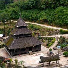
The name comes from the Indonesian word for turmeric, reflecting local connections to the plants and resources of the region. People in nearby villages view this formation as an important landmark within their daily landscape.
Visitors need to obtain permits from Kerinci district authorities and bring appropriate hiking equipment when planning an ascent. The experience works best during drier months when the trails are more passable and visibility is better.
The two crater formations sit at different elevations and display varying volcanic characteristics. This layered structure of volcanic rock and ash deposits creates a geological composition that tells the story of multiple eruption phases over time.
The community of curious travelers
AroundUs brings together thousands of curated places, local tips, and hidden gems, enriched daily by 60,000 contributors worldwide.