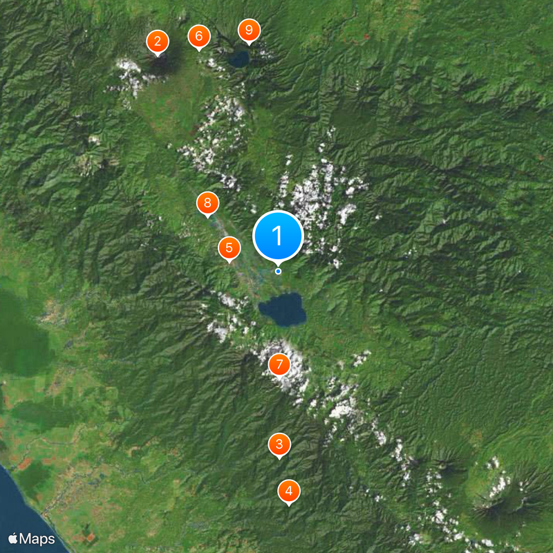
Kerinci, Mountainous regency in Jambi Province, Indonesia.
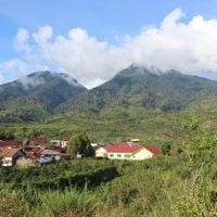
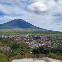
Kerinci is a regency in Jambi Province located in central Sumatra with mountainous terrain throughout. The territory is divided into eighteen administrative districts, and elevations in some areas reach 1,757 meters.
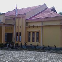
The area became an independent regency in 2008 after separating from Sungai Penuh city. Siulak was established as the administrative center, connecting the surrounding districts.
Residents shape the landscape through farming, with rice fields and coffee plantations visible across the region. This agricultural tradition remains central to daily life and defines how the land looks today.
Visitors should note that the terrain is mountainous and roads at higher elevations can be challenging. Exploring the region is best done with local guides familiar with conditions and connections between districts.
The territory contains large portions of Kerinci Seblat National Park, which protects diverse ecosystems and includes Mount Kerinci. This mountain is Indonesia's highest active volcano and shapes the landscape significantly.
Location: Jambi
Capital city: Siulak
Elevation above the sea: 1,757 m
Reference: 15.01
Shares border with: Dharmasraya, South Solok, South Pesisir, Sungai Penuh, Mukomuko, Merangin, Bungo
Website: http://kerincikab.go.id
GPS coordinates: -2.08389,101.48000
Latest update: December 20, 2025 00:35
Mount Kerinci
49.3 km
Kerinci Seblat National Park
37 km
Tropical Rainforest Heritage of Sumatra
46.4 kmMosque Agung Pondok Tinggi
9.8 km
Telun Berasap Falls
46.7 km
Mount Kunyit
21.2 kmSemurup Hot Spring
17.7 km
Mount Tujuh
45.6 kmMount Hutapanjang
30.5 kmMerangin Geopark
54.4 km
Mande Rubiah Museum
43.6 kmMasjid Jamiatul Bilad
45.3 kmMasjid Kuno Lempur Tengah
19.9 kmMasjid Kuno Tanjung Pauh Ilir
6.3 kmMasjid Kuno Lempur Mudik
20.2 kmMasjid Baitul Rahman Kampung Bukit Tapus
42.6 kmKerinci Volcano (3,805 m)
49.3 kmAir Panas Semurup
17.3 kmAir Panas Semurup
17.3 kmBundara Adipura
9.7 kmObjek Wisata Danau Kerinci
6.7 kmScenic viewpoint
10.4 kmWaterfall
43.3 kmKerinci Trek Start Point
44.8 kmTomb
15.5 kmAir Terjun Pendung
17 kmWaterfall
43.5 kmWaterfall
41.6 kmVisited this place? Tap the stars to rate it and share your experience / photos with the community! Try now! You can cancel it anytime.
Discover hidden gems everywhere you go!
From secret cafés to breathtaking viewpoints, skip the crowded tourist spots and find places that match your style. Our app makes it easy with voice search, smart filtering, route optimization, and insider tips from travelers worldwide. Download now for the complete mobile experience.
A unique approach to discovering new places❞
— Le Figaro
All the places worth exploring❞
— France Info
A tailor-made excursion in just a few clicks❞
— 20 Minutes