Dharmasraya, Administrative region in West Sumatra, Indonesia.
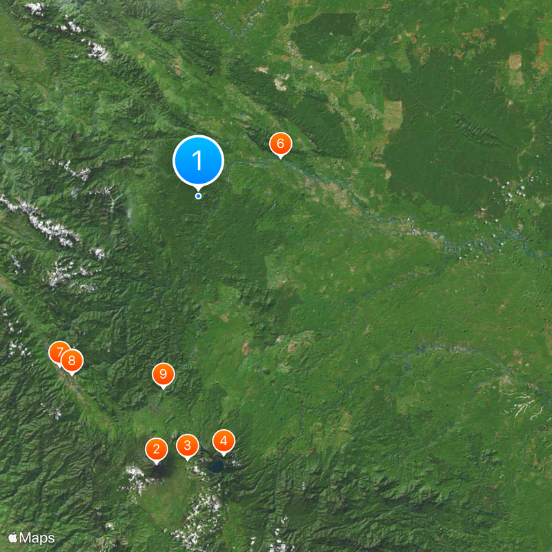
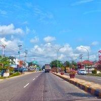
Dharmasraya is an administrative regency in West Sumatra that spans hilly terrain with rivers and volcanic highlands throughout. The region divides into eleven administrative districts, with Pulau Punjung serving as its administrative center.
The region traces its roots to the Kingdom of Dharmasraya, which rose to prominence in the 11th century and shaped the area's past. It became an official administrative regency in 2003 when it separated from larger provincial structures.
The Minangkabau community here sustains its customs through daily family life and social practices: women hold important roles in household decisions and property matters. You can observe these traditions in local homes, markets, and village gatherings.
The area sits within an active geological zone, so visitors should familiarize themselves with local conditions before traveling. The drier season offers the best conditions for visiting and moving around the different districts.
The region sits within an active tectonic zone marked by multiple river systems and volcanic highland formations that shape the landscape. This geological dynamism influences the water resources and terrain that residents interact with in their daily lives.
Location: West Sumatra
Inception: December 18, 2003
Capital city: Punjung Island
Elevation above the sea: 270 m
Reference: 13.10
Shares border with: South Solok, Solok, Sijunjung, Kuantan Singingi, Tebo, Bungo
Website: https://dharmasrayakab.go.id
GPS coordinates: -1.05000,101.36700
Latest update: December 20, 2025 00:30
Mount Kerinci
72.9 km
Telun Berasap Falls
71.1 km
Mount Tujuh
70.2 km
Koto Baru Grand Mosque
58.9 km
Masjid Tua Siguntur
24.6 km
60 Kurang Aso Mosque
59.2 km
Surau Menara
59.1 kmمسجد الشيخ سامبو
52.6 kmMasjid Tuo Bonjol
31.8 km
Masjid Tuo Sitiung
30.4 kmMasjid Tua Padukuan
48.4 kmSurau Gadang Syekh Sampu
52.1 kmMasjid Urwatul Wusqo
43.7 kmMasjid Raya Muara Labuh
59 kmMasjid Darussalam Padang Rampak
48.6 kmCandi Pulau Sawah I
24.4 kmSitus Amoghapasa Bukit Braholo
24.3 kmJoglo PT. TBS
46.8 kmKerinci Volcano (3,805 m)
73 kmRajo Balun Palace
57.3 kmKebun Sawit Anas Kadri
51.3 kmKop Anak Nagari (Pak Muslim)
48.9 kmMess PKS Ibul PT. TBS
47.6 kmPos Security PT. TBS
44.7 kmTugu
59.2 kmSimpang Bambu Kuning
96.2 kmKerinci Trek Start Point
78.5 kmWaterfall
72.8 kmVisited this place? Tap the stars to rate it and share your experience / photos with the community! Try now! You can cancel it anytime.
Discover hidden gems everywhere you go!
From secret cafés to breathtaking viewpoints, skip the crowded tourist spots and find places that match your style. Our app makes it easy with voice search, smart filtering, route optimization, and insider tips from travelers worldwide. Download now for the complete mobile experience.
A unique approach to discovering new places❞
— Le Figaro
All the places worth exploring❞
— France Info
A tailor-made excursion in just a few clicks❞
— 20 Minutes