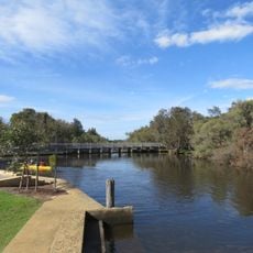
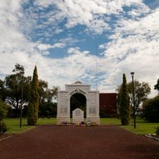
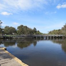
Cannington, Administrative division in City of Canning, Australia.
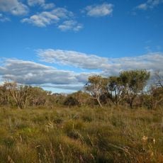
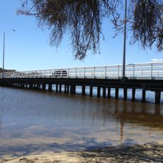
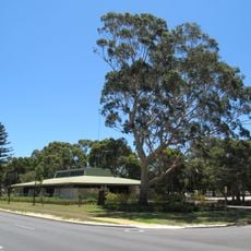
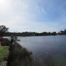
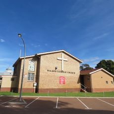
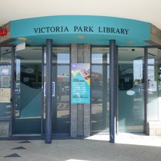
Cannington is an administrative area in the southeastern suburbs of Perth, encompassing several residential neighborhoods south of the city center. The region is managed by local authorities who handle day-to-day matters for the people who live there.
The area was originally part of the Municipality of Queen's Park before coming under the Canning Road District's administration in the early 1900s. This administrative shift shaped how the region developed over the following decades.
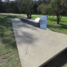
The administration coordinates community programs across five distinct wards, including Mason, Bannister, Beeliar, Nicholson, and Beeloo, representing diverse residential populations.
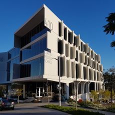
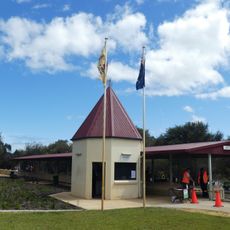
The local administration office is located on Albany Highway and open during business hours for inquiries and information. The area is easy to reach by car and has straightforward access points for visitors.
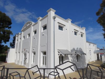
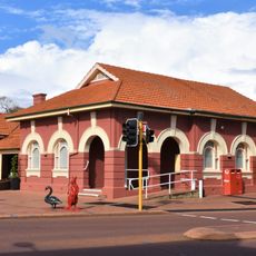
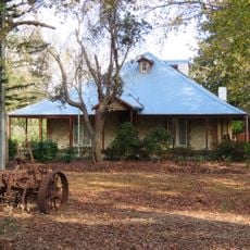
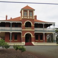
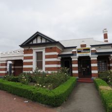
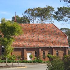
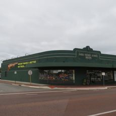
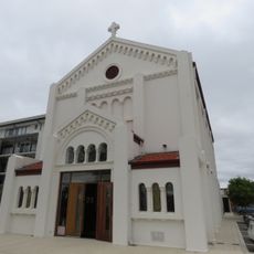
The area contains around a hundred buildings with heritage protection, including the historic Woodloes Homestead with its original structures. This collection of older buildings reflects what the neighborhood looked like in earlier times.
Location: City Of Canning
GPS coordinates: -32.02003,115.94292
Latest update: December 8, 2025 13:43
Curtin University
4.9 km
Perth Hockey Stadium
5.3 km
Canning River Regional Park
2.5 km
Kensington Bushland
6.3 km
Riverton Bridge
4 km
Australian Sikh Heritage Trail
3.4 km
Victoria Park Post Office
6.6 km
Woodloes Homestead
819 m
Curtin Medical School Building 410
5 km
Canning Town Hall
1.3 km
Convict Fence
4.5 km
Kent Street Weir Bridge
2.1 km
Old Sikh Cemetery
3.5 km
Canning War Memorial
1.7 km
Kent Street Weir
2.1 km
Edward Millen Home (former)
4.5 km
Bentley Public Library
3.3 km
Castledare Miniature Railways
2.6 km
Curtin Building 408 Business and Physiotherapy
4.9 km
Victoria Park Police Station
6.5 km
Shelley Bridge
3.9 km
Our Lady of Perpetual Help Church, Wilson
2.7 km
Victoria Park Public Library
5.7 km
The Chapel of the Guardian Angel
2.3 km
United Friendly Society Building, Victoria Park
6.2 km
Curtin Building 104 Main Cafeteria Building
5 km
Curtin Building 106 Student Guild Complex
5 km
St Peter's Anglican Church & Memorial Hall
6.7 kmVisited this place? Tap the stars to rate it and share your experience / photos with the community! Try now! You can cancel it anytime.
Discover hidden gems everywhere you go!
From secret cafés to breathtaking viewpoints, skip the crowded tourist spots and find places that match your style. Our app makes it easy with voice search, smart filtering, route optimization, and insider tips from travelers worldwide. Download now for the complete mobile experience.
A unique approach to discovering new places❞
— Le Figaro
All the places worth exploring❞
— France Info
A tailor-made excursion in just a few clicks❞
— 20 Minutes