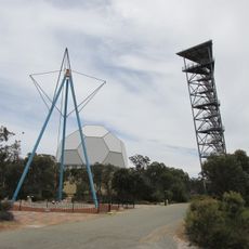
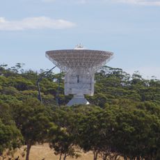
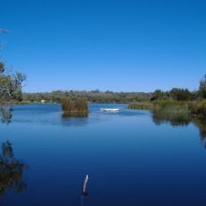
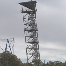
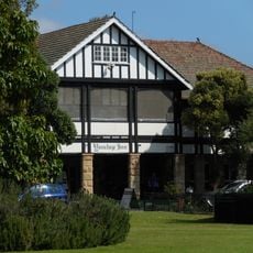
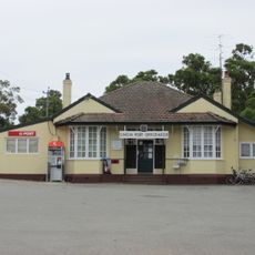
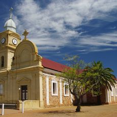
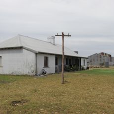
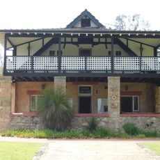
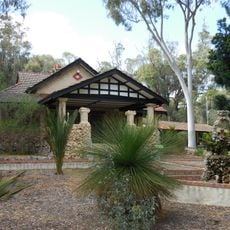
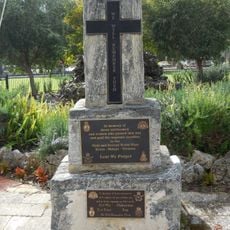
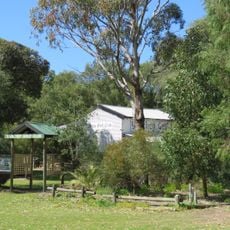
Shire of Gingin, local government area in the Wheatbelt region of Western Australia
Location: Western Australia
Elevation above the sea: 60 m
Shares border with: Shire of Dandaragan, Shire of Victoria Plains, Shire of Chittering, City of Wanneroo
Website: http://gingin.wa.gov.au
GPS coordinates: -31.34100,115.90800
Latest update: March 14, 2025 05:51
Gravity Discovery Centre
18.6 km
Atlantis Marine Park
35.1 kmWanneroo Raceway
37.5 km
ESTRACK
42.4 km
Yanchep National Park
31.4 km
Arena Joondalup
45.9 km
New Norcia Hotel
50.3 km
Guilderton Lighthouse
39.5 km
King Neptune Statue
35.1 km
Leaning Tower of Gingin
18.6 km
Yanchep Inn
31.1 km
Gingin Post Office
598 m
Abbey Church of the Holy Trinity, New Norcia
50.6 km
Old Junction Hotel
28.8 km
YNP Army Bunkers - Radar Installation
29.8 km
Nilgen lookout
69.2 km
YNP Gloucester Lodge and Pool
30.7 km
YNP McNess Guest House
31.2 km
YNP Administration Building
31.3 km
YNP Yanchep War Memorial
31.1 km
YNP Yanchep Golf Clubhouse
30.9 km
YNP Crystal Caves
30.7 km
Yanchep Lakeview Tearooms
31.2 km
Lancelin Jetty
66.2 km
Lime Kilns, Neerabup
38.9 km
Old Junction Bridge
28.9 km
Yanchep National Park Precinct
31.3 km
Yanchep and Two Rocks Public Library
34.9 kmVisited this place? Tap the stars to rate it and share your experience / photos with the community! Try now! You can cancel it anytime.
Discover hidden gems everywhere you go!
From secret cafés to breathtaking viewpoints, skip the crowded tourist spots and find places that match your style. Our app makes it easy with voice search, smart filtering, route optimization, and insider tips from travelers worldwide. Download now for the complete mobile experience.
A unique approach to discovering new places❞
— Le Figaro
All the places worth exploring❞
— France Info
A tailor-made excursion in just a few clicks❞
— 20 Minutes