Mount Meharry, Granite summit in Karijini National Park, Australia.
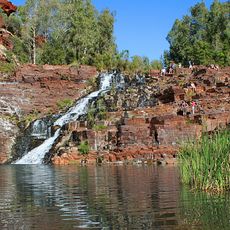
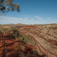
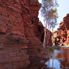
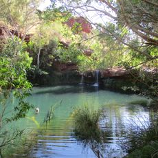
Mount Meharry rises 1,249 meters (4,100 feet) within the Hamersley Range, featuring deep red cliff faces and panoramic views across the Pilbara region. Multiple geological layers are visible as you climb, showing the varied rock formations of the landscape.
The peak was discovered in 1967 by surveyor Trevor Markey and named after William Thomas Meharry, who served as Western Australia's Chief Geodetic Surveyor at that time. This discovery occurred as part of wider mapping efforts across the region.
The Yindjibarndi and Banyjima peoples hold deep ties to this mountain landscape through their extended family heritage. You can feel how this connection shapes the way the land itself is experienced and valued.
Access requires permission from Juna Downs Station and the Department of Parks and Wildlife before you can visit. The weather in this region can be intensely hot and dry, so bring plenty of water and wear appropriate sun protection gear.
This peak holds the distinction of being Western Australia's highest point, giving it special status within the state's geography. The exposed rock layers here tell a story spanning over two billion years, which draws particular attention from geology enthusiasts.
The community of curious travelers
AroundUs brings together thousands of curated places, local tips, and hidden gems, enriched daily by 60,000 contributors worldwide.