Burringurrah Community

Log in to your account

AroundUs is a community-driven map of interesting places, built by curious explorers like you. It grows with every review, story, and photo you share.
Connect to save your favorite spots, contribute locations, and create personalized routes.
By continuing, you accept our Terms and Conditions and our Privacy Policy
Add to collection
Map
Suggest a change
Share

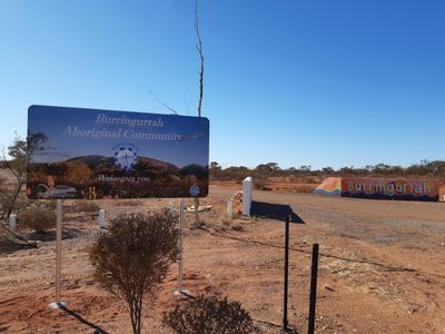
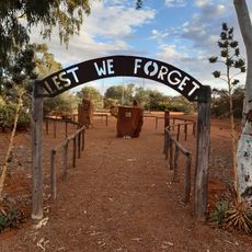
Burringurrah Community, Indigenous settlement in Upper Gascoyne, Western Australia.

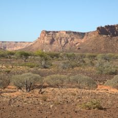
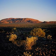
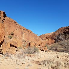
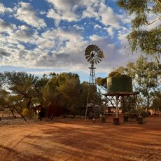
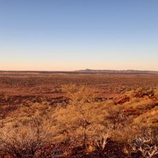
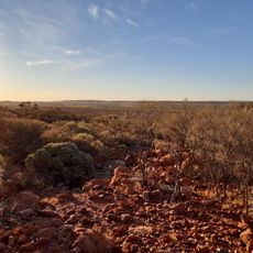
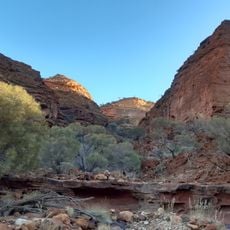
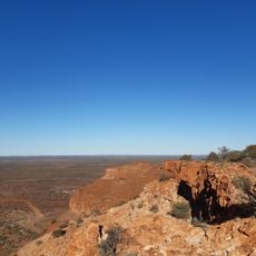
Burringurrah Community is an Indigenous settlement in the Gascoyne region of Western Australia. The community occupies a vast area of land with pastoral landscape and natural features in a remote part of the state.

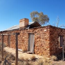
The community was established in 1987 and gained incorporation status in 1999 following its separation from a neighboring pastoral lease. This development was part of a broader movement toward self-management and autonomy for communities in the region.

The settlement operates within the Wajarri Yamatji native title claim area, maintaining traditional connections to the land through Indigenous ranger programs.

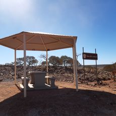
Access to this community is restricted and requires prior authorization from the relevant authorities. Visitors should inquire beforehand and be aware that only authorized persons can enter.

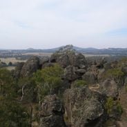
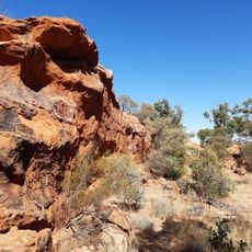
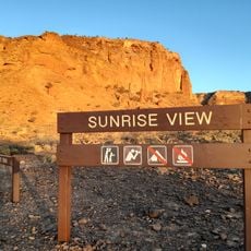
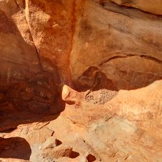
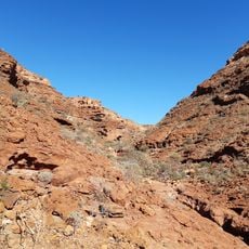
The area sits near Mount Augustus and close to two major rivers that converge nearby. This geographic location has long shaped the settlement as a significant place.

Location: Western Australia

Location: Shire of Upper Gascoyne

GPS coordinates: -24.66200,116.93300

Latest update: December 6, 2025 17:44

Photos
Notable rock formations worldwide

Geological formations develop over millions of years through natural processes including erosion, weathering, and tectonic activity. These rocks and stone structures take various forms – arches, monoliths, spheres, and pillars – shaped by wind, water, and time. They document Earth's geological...

Around this place
Show the full map
Mount Augustus
Australia

Mount Augustus

38.6 km
Mount Augustus National Park
Australia

Mount Augustus National Park

37.7 km
Murchison Widefield Array
Australia

Murchison Widefield Array

228.8 km
Australian Square Kilometre Array Pathfinder
Australia

Australian Square Kilometre Array Pathfinder

228.4 km
Murchison Radio-astronomy Observatory
Australia

Murchison Radio-astronomy Observatory

228.7 km
Kennedy Range National Park
Australia

Kennedy Range National Park

190.8 km
Experiment to Detect the Global EoR Signature
Australia

Experiment to Detect the Global EoR Signature

228.5 km
Mount Augustus National Park
Australia

Mount Augustus National Park

38 km
Square Kilometre Array - Australia
Australia

Square Kilometre Array - Australia

229 km
Kotka Gorge Trail, Mount Augustus National Park
Australia

Kotka Gorge Trail, Mount Augustus National Park

37.4 km
Killili Bridge, Gascoyne River
Australia

Killili Bridge, Gascoyne River

179.1 km
Gascoyne Junction Community Resource Centre
Australia

Gascoyne Junction Community Resource Centre

179.6 km
ANZAC memorial park, Murchison Settlement
Australia

ANZAC memorial park, Murchison Settlement

267 km
Masonic Lodge, Meekatharra
Australia

Masonic Lodge, Meekatharra

266.3 km
Ooramboo Trail, Mount Augustus National Park
Australia

Ooramboo Trail, Mount Augustus National Park

33.6 km
Upper Gascoyne Road Board Office
Australia

Upper Gascoyne Road Board Office

179.5 km
Honeycomb Gorge, Kennedy Range National Park
Australia

Honeycomb Gorge, Kennedy Range National Park

177.8 km
Murchison Museum, Western Australia
Australia

Murchison Museum, Western Australia

266.9 km
Saddle Trail, Mount Augustus National Park
Australia

Saddle Trail, Mount Augustus National Park

42.9 km
Original Cobra Station Homestead
Australia

Original Cobra Station Homestead

74.2 km
Goordgeela Lookout Trail, Mount Augustus National Park
Australia

Goordgeela Lookout Trail, Mount Augustus National Park

42.2 km
Temple Gorge, Kennedy Range National Park
Australia

Temple Gorge, Kennedy Range National Park

178.4 km
Sunrise View, Kennedy Range National Park
Australia

Sunrise View, Kennedy Range National Park

177.2 km
Mount Augustus Tourist Park
Australia

Mount Augustus Tourist Park

39.4 km
Mundee, Mount Augustus National Park
Australia

Mundee, Mount Augustus National Park

33.8 km
Drapers Gorge, Kennedy Range National Park
Australia

Drapers Gorge, Kennedy Range National Park

178.3 km
Escarpment trail, Kennedy Range National Park
Australia

Escarpment trail, Kennedy Range National Park

178 km
Emu Hill Lookout
Australia

Emu Hill Lookout

47.2 km
Show the full map
Reviews

Visited this place? Tap the stars to rate it and share your experience / photos with the community! Try now! You can cancel it anytime.

« Burringurrah Community - Indigenous settlement in Upper Gascoyne, Western Australia » is provided by Around Us (aroundus.com). Images and texts are derived from Wikimedia project under a Creative Commons license. You are allowed to copy, distribute, and modify copies of this page, under the conditions set by the license, as long as this note is clearly visible.

Discover hidden gems everywhere you go!

From secret cafés to breathtaking viewpoints, skip the crowded tourist spots and find places that match your style. Our app makes it easy with voice search, smart filtering, route optimization, and insider tips from travelers worldwide. Download now for the complete mobile experience.

Around Us App Screenshot

A unique approach to discovering new places

Le Figaro

All the places worth exploring

France Info

A tailor-made excursion in just a few clicks

20 Minutes