Chest opened
+${chestReward.xp} XP
Explorer
NOUVEAU ×${chestReward.collectible.quantity}
tapez pour fermer
Chest locked

Open chests in the app

Around Us is built for your phone — chests unlock when you walk, explore and capture nearby places.

Enable Location

We need your location to show you interesting places around you

Discover nearby places

Find interesting locations and hidden gems around you

Precise directions

Get accurate directions and distances to places

Your location is never shared with other users. It's only used when you tap the location button.

Coober Pedy

Log in to your account

Start exploring — it's free

Trusted by 72,888 travelers worldwide

Continue with Google
Continue with Apple
or

We will send you a code to connect

By continuing, you accept our Terms and Conditions and our Privacy Policy

Check your inbox

We've sent a pincode in your inbox. Please enter the code below.

Discussion Reviews 3 Photos
230k Popularity

Coober Pedy, Mining administrative zone in South Australia, Australia.

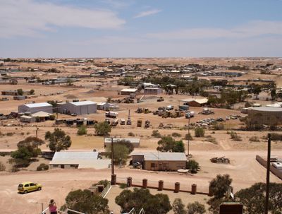
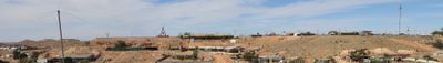
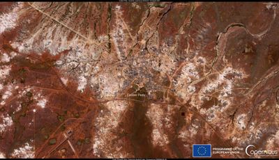
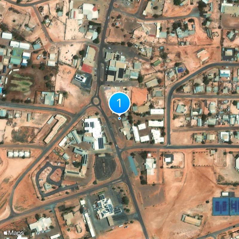
Coober Pedy is a small town in northern South Australia, surrounded by a desert landscape of red rock and sandy plains. The administrative division covers an area of about 78 square kilometers and is managed by a local district council.

In 1915, Willie Hutchison discovered the first opal deposits in this area, marking the beginning of a permanent mining settlement. The town received official status as a local government division in 1987, becoming a recognized political entity.

The town carries the name Coober Pedy, derived from the Aboriginal words Kupa Piti, which roughly means white man's hole. This name recalls how miners have been digging for opals here for over a century, leaving the landscape dotted with shafts.

The Stuart Highway connects this town to Adelaide, with the drive covering about 846 kilometers through largely empty desert landscape. Water and fuel should be carefully planned before traveling through this remote region.

Many residents live in underground homes carved into the hillsides, known as dugouts. These caves provide natural insulation against the extreme desert temperatures, which often exceed 45 degrees Celsius (113 degrees Fahrenheit) in summer.

The community of curious travelers

AroundUs brings together thousands of curated places, local tips, and hidden gems, enriched daily by 60,000 contributors worldwide.

Start exploring
Location
Location
Inception
1915
Elevation above the sea
226 m
Part of
Outback South Australia
Shares border with
Mabel Creek, Mount Willoughby
GPS coordinates
-29.01389,134.75500
Latest update
December 15, 2025 02:06
Reviews
Share your experience

No review yet

Discussions
Start a discussion...

No discussion yet

« Coober Pedy - Mining administrative zone in South Australia, Australia » is provided by Around Us (aroundus.com). Images and texts are derived from Wikimedia project under a Creative Commons license. You are allowed to copy, distribute, and modify copies of this page, under the conditions set by the license, as long as this note is clearly visible.

Discover hidden gems everywhere you go!

From secret cafés to breathtaking viewpoints, skip the crowded tourist spots and find places that match your style. Our app makes it easy with voice search, smart filtering, route optimization, and insider tips from travelers worldwide. Download now for the complete mobile experience.

Around Us App Screenshot

A unique approach to discovering new places

Le Figaro

All the places worth exploring

France Info

A tailor-made excursion in just a few clicks

20 Minutes

Around Us
Travel Guide & Maps
Download

Send to your phone

QR Code
1

Open the camera app on your mobile.

2

Point at the QR code with your camera. A notification will appear.

3

Tap the notification to open the link.