Emergency Fire Service, Emergency fire service in South Australia, Australia
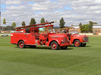
The Emergency Fire Service is the primary response agency across South Australia, specializing in structural firefighting and emergency situations in both urban and regional areas. The organization operates multiple stations throughout the state to ensure rapid arrival when help is needed.
The service was established in 1862 as firefighting expanded from volunteer efforts to a centralized organization serving the metropolitan region. Its structure evolved over time to meet changing emergencies and technological advancements in rescue operations.
The service runs training programs for communities, teaching residents how to prevent fires and respond correctly when danger strikes. These courses are woven into daily life for many families across the state who want to protect their homes and workplaces.
Visitors can check the service's website for current hazard alerts and safety guidance to stay informed about potential risks in their area. Much of this information is freely available and helps residents improve their own security preparedness.
The service has launched special campaigns addressing lithium-ion battery hazards, recognizing how modern technology creates new dangers in homes and workplaces. This recent focus shows how the organization adapts as household and workplace risks evolve.
The community of curious travelers
AroundUs brings together thousands of curated places, local tips, and hidden gems, enriched daily by 60,000 contributors worldwide.