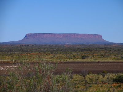
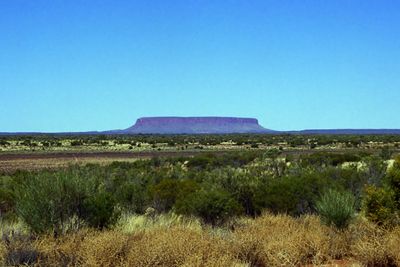
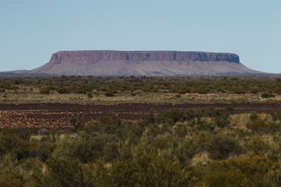
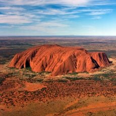
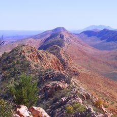
Mount Conner, Granite plateau summit in Northern Territory, Australia
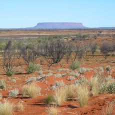
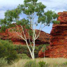
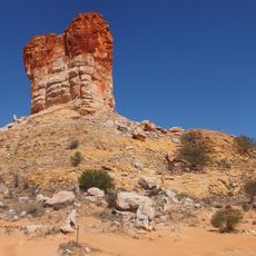
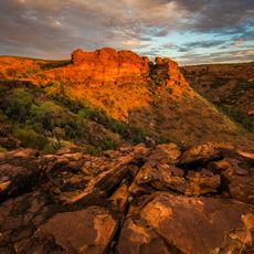
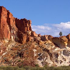
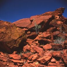
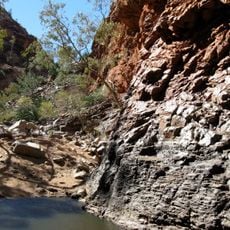
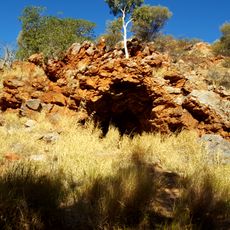
Mount Conner is a granite plateau summit that rises 300 meters above the desert plains, with sedimentary rock layers clearly visible along its steep sides. The mountain has a distinctive flat top and shows layered structures formed over ancient geological time.
Explorer William Gosse named the mountain in 1873 after South Australian politician Mountifort Longfield Conner during his expedition through central Australia. This naming marked a significant moment in European exploration of the region.
The Yankunytjatjara people call this mountain Atila and connect it to their ancestral stories about nyiṉya spirits that bring cold weather. This name shows how deeply the mountain is woven into local culture.
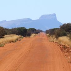
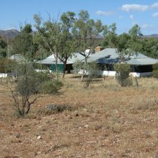
Visitors reach Mount Conner via the Lasseter Highway, located about 75 kilometers southeast of Lake Amadeus within the Curtin Springs cattle station. Access is through private pastoral land, so checking conditions beforehand is recommended.
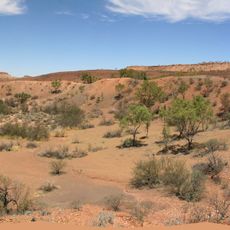
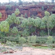
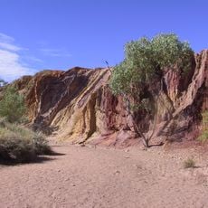
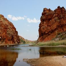
The mountain contains geological evidence of an ancient inland sea, with layers of conglomerates, sandstones, siltstones, and mudstones that tell a story of water. These layers reveal how the landscape transformed dramatically over millions of years.
The community of curious travelers
AroundUs brings together thousands of curated places, local tips, and hidden gems, enriched daily by 60,000 contributors worldwide.