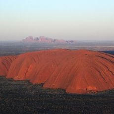
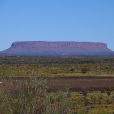
Mount Liebig, Mountain summit in MacDonnell Ranges, Australia
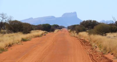
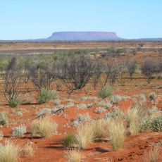
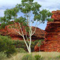
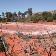
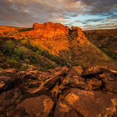
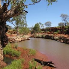
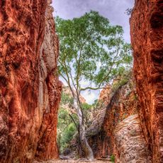
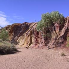
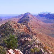
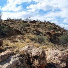
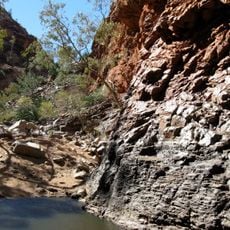
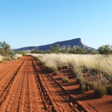
Mount Liebig rises 1,274 meters (4,180 feet) above sea level in the MacDonnell Ranges with steep slopes and exposed rock faces. The terrain displays rugged stone formations that shape the raw appearance of this region.
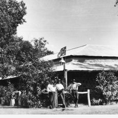
Explorer Ernest Giles named this mountain in the 19th century after German chemist Justus von Liebig during his travels through the region. The naming reflects how European exploration connected scientific recognition with newly mapped places.
The mountain holds deep meaning for Aboriginal peoples and appears in the artworks of local artists. These representations show how the landmark connects to the cultural identity of the region.
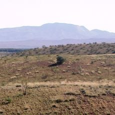
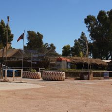
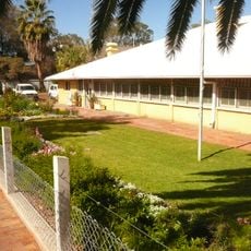
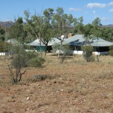
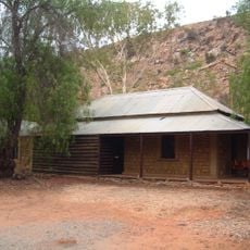
Visitors need four-wheel-drive vehicles to reach this location on unsealed roads in a remote area. It is important to bring plenty of water and supplies since facilities are limited in the surrounding region.
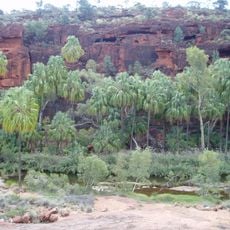
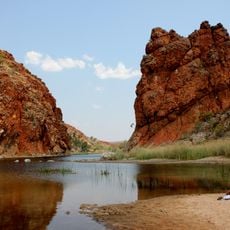
This peak serves as a natural boundary between different ecological zones, creating distinct habitats for native plants and animals on each side. This geographical dividing line supports different ecosystems that visitors can observe while exploring the area.
The community of curious travelers
AroundUs brings together thousands of curated places, local tips, and hidden gems, enriched daily by 60,000 contributors worldwide.