Uluṟu-Kata Tjuṯa National Park, Nature reserve in Northern Territory, Australia
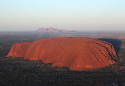
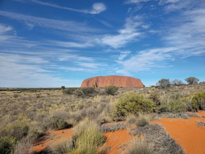
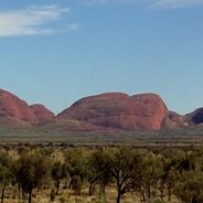
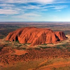
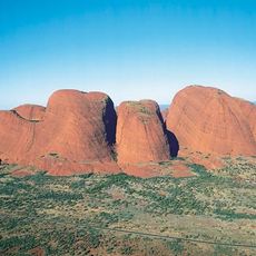
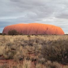
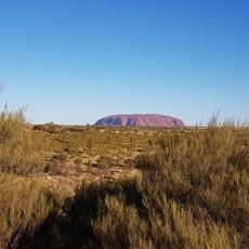
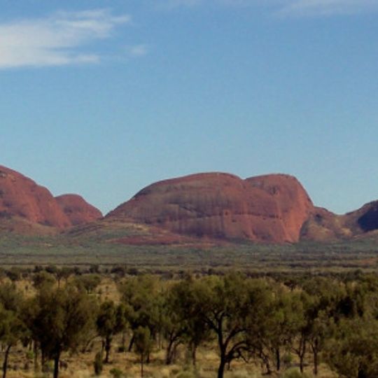
Uluṟu-Kata Tjuṯa National Park covers 1,326 square kilometres of the Northern Territory and holds two rock groups. Uluru is a sandstone monolith standing 348 metres high, most of its bulk below ground, with vertical dark bands and shallow grooves down its face. Kata Tjuṯa, 40 kilometres west, is a cluster of 36 conglomerate domes.
Uluru and Kata Tjuta formed about 350 million years ago during the Alice Springs Orogeny. Ernest Giles sighted Kata Tjuta in 1872 and named it Mount Olga; the next year William Gosse named Uluru Ayers Rock after Sir Henry Ayers. In 1958 the area was excised from the Petermann Aboriginal Reserve as the Ayers Rock-Mount Olga National Park, and on 26 October 1985 the Anangu received freehold title, leasing the land back for 99 years under joint management.
Anangu walking tours explain local flora, fauna, bush foods and the Dreamtime stories tied to the landscape. The Cultural Centre introduces Tjukurpa, Anangu art and languages, and the Walkatjara Art Centre, run by artists from the Mutitjulu community, lets visitors watch them work. Kata Tjuta's name means 'many heads', and its knowledge is reserved for initiated men.
Visit early in the morning or late in the afternoon when temperatures are milder and the light is best for viewing the rock formations. Bring plenty of water and wear sturdy shoes, as the terrain is dry, sun-exposed, and the paths are often unpaved.
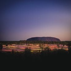
The rock formations shift color dramatically throughout the day, turning from deep red to warm orange and violet hues, especially at sunrise and sunset. This happens because of the minerals in the stone and how the changing light hits the surfaces.
The community of curious travelers
AroundUs brings together thousands of curated places, local tips, and hidden gems, enriched daily by 93,136 contributors worldwide.