Enable Location

We need your location to show you interesting places around you

Discover nearby places

Find interesting locations and hidden gems around you

Precise directions

Get accurate directions and distances to places

Your location is never shared with other users. It's only used when you tap the location button.

Kata Tjuta

Log in to your account

Join the adventure

Create your free account and start exploring (like 60k+ others)

We will send you a code to connect

or
Continue with Google
Continue with Apple
By continuing, you accept our Terms and Conditions and our Privacy Policy

Check your inbox

We've sent a pincode in your inbox. Please enter the code below.

Kata Tjuta

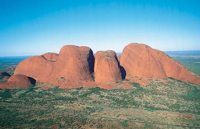
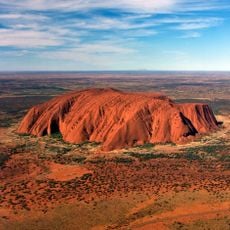
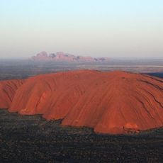
Kata Tjuta, Rock formation complex in Northern Territory, Australia.

Description

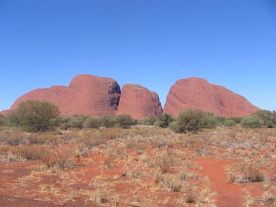
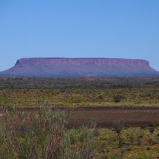
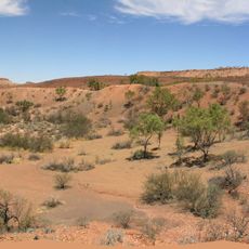
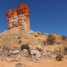
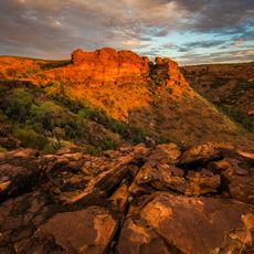
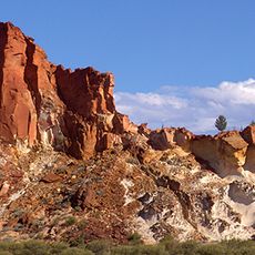
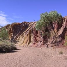
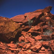
Kata Tjuta is a formation of red rock domes in central Australia that spreads across a wide desert area in the Northern Territory. The domes rise from the flat plain and form a group of peaks that shift in color from terracotta to purple under different light conditions.

History

The formations were mapped during 19th-century European exploration of Australia and received an alternative English designation at that time. In the later decades of the 20th century, management of the area was progressively returned to the traditional owners.

Culture

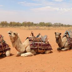
The place holds a name from the Pitjantjatjara language and is considered sacred by the traditional owners, the Anangu people, today. Visitors can join cultural tours led by Anangu rangers that offer insight into the connection between people and this landscape.

Practical

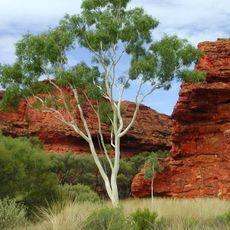
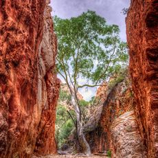
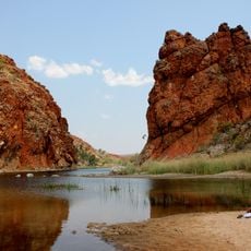
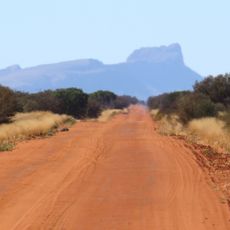
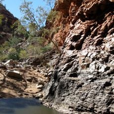
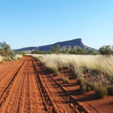
Access to the area is by road from the main route through central Outback. Two walking trails lead through the valleys and along the gorges between the rock formations, with the longer path taking several hours to complete.

Did you know?

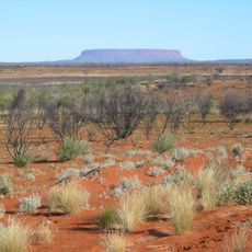
The highest peak in this group stands about 200 meters (656 feet) taller than nearby Uluru, though that landmark usually receives more attention. The rock itself consists of a conglomerate material, which differs from the smoother surface of other formations in the region.

Elevation above the sea
1,069 m
GPS coordinates
-25.29789,130.73361
Latest update
December 12, 2025 18:02

AroundUs brings together thousands of curated places, local tips, and hidden gems, enriched daily by 60,000 contributors worldwide. Discover all places nearby (Northern Territory).

Australian outback: natural landmarks, geology, desert landscapes

The Australian outback encompasses a vast territory featuring distinctive geological characteristics, including ancient sandstone formations, deep canyons, and expansive salt lakes. This region contains some of Earth's oldest landscapes, from the red monoliths of the Northern Territory to the...

« Kata Tjuta - Rock formation complex in Northern Territory, Australia » is provided by Around Us (aroundus.com). Images and texts are derived from Wikimedia project under a Creative Commons license. You are allowed to copy, distribute, and modify copies of this page, under the conditions set by the license, as long as this note is clearly visible.

Discover hidden gems everywhere you go!

From secret cafés to breathtaking viewpoints, skip the crowded tourist spots and find places that match your style. Our app makes it easy with voice search, smart filtering, route optimization, and insider tips from travelers worldwide. Download now for the complete mobile experience.

Around Us App Screenshot

A unique approach to discovering new places

Le Figaro

All the places worth exploring

France Info

A tailor-made excursion in just a few clicks

20 Minutes

Around Us
Travel Guide & Maps
Download

Send to your phone

QR Code
1

Open the camera app on your mobile.

2

Point at the QR code with your camera. A notification will appear.

3

Tap the notification to open the link.