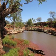
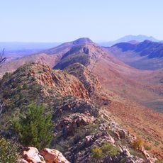
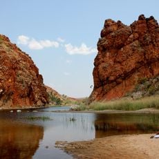
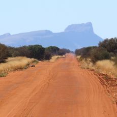
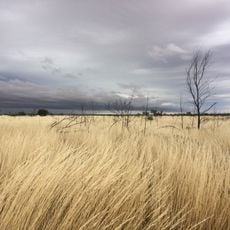
Surveyor Generals Corner, State boundary tripoint in Western Australian desert, Australia
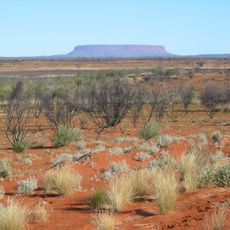
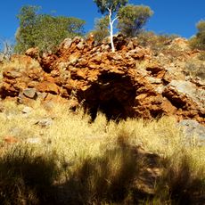
Surveyor Generals Corner is a tripoint in the remote Australian desert where the borders of Western Australia, South Australia, and the Northern Territory all meet. Two concrete pillars, placed some distance apart, mark the exact spot where these three territories come together.
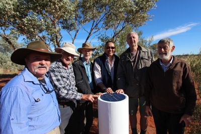
In 1968, surveyor Barry Allwright carried out the official survey of this boundary point and put up the first markers on site. His work established the formal border between the three Australian territories at this location.
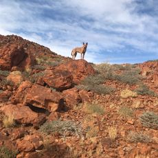
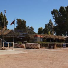
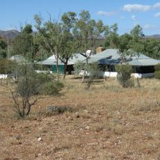
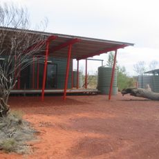
The Irrunytju community, one of the most remote Aboriginal settlements in Australia, manages access to this area and requires visitors to request permits in advance. The land around this point is considered traditional country, and entering without permission is not allowed.
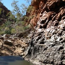
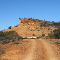
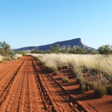
Reaching this spot requires several permits, including one from the Irrunytju Community Office and a transit permit for the Great Central Road. Because the location is deep in the desert, the trip demands thorough planning and the right equipment before setting out.
Three different time zones meet at this point, which means a visitor could technically celebrate New Year three times on the same evening. This makes it one of the rare places in the world where stepping a few paces left or right changes the clock.
The community of curious travelers
AroundUs brings together thousands of curated places, local tips, and hidden gems, enriched daily by 60,000 contributors worldwide.