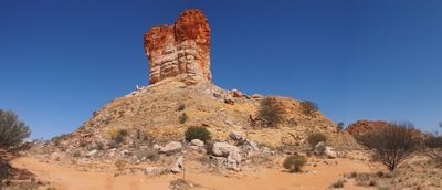
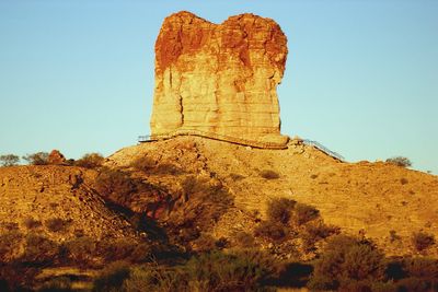
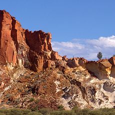
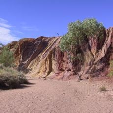
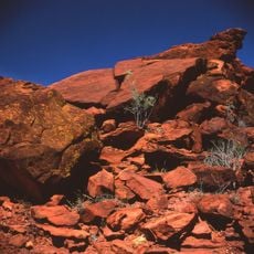
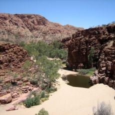
Chambers Pillar, Sandstone formation in Simpson Desert, Northern Territory, Australia.
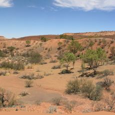
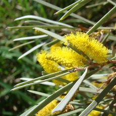
The 50-meter sandstone formation rises from the flat desert plains, displaying distinct layers of red and orange hues created by millions of years of erosion. The pillar consists of Mereenie Sandstone and stands isolated in the sparse landscape, surrounded by spinifex grasses and low shrubs adapted to the region's extreme conditions and minimal rainfall patterns.
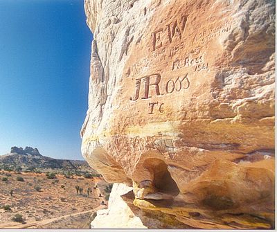
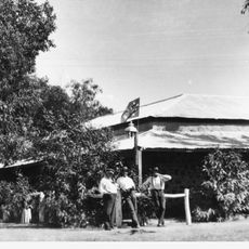
John McDouall Stuart reached the formation during his 1860 expedition through central Australia and named it after his financial backer James Chambers. Later, surveyors and cattle drovers used the distinctive marker as a navigation point on routes between Adelaide and the Northern Territories, with many carving their names into the soft sandstone surface to document their passage through this remote area.
The Arrernte people regard the formation as Itirkawara, a gecko ancestor from the Dreamtime who transformed into rock after violating laws laid down by the ancestors. The site remains an important spiritual landmark for indigenous communities who continue to maintain connections to the land and the oral traditions passed through generations about this sacred location.
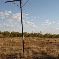
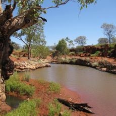
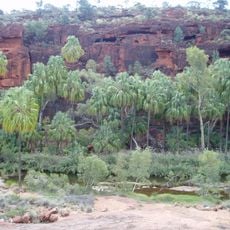
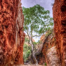
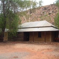
The journey requires a high-clearance four-wheel drive vehicle to traverse 160 kilometers (100 miles) of unpaved road from Alice Springs through the Simpson Desert Reserve. Best visited between May and September when temperatures are cooler, with camping facilities available at a nearby area. Visitors should carry sufficient water, fuel, and supplies as no facilities exist on site, and permits may be required for access.
Travelers during the late 19th century left their signatures on the soft rock, creating a permanent record of pioneers, surveyors, and telegraph workers who passed through this remote region. Among the names are individuals involved in constructing the Overland Telegraph Line between 1870 and 1872, which connected Adelaide to Darwin and transformed Australian communication history in the continent's interior.
The community of curious travelers
AroundUs brings together thousands of curated places, local tips, and hidden gems, enriched daily by 60,000 contributors worldwide.