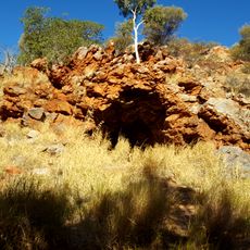
Mount Leisler, Mountain summit in the Kintore Range, Northern Territory, Australia
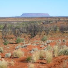
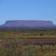
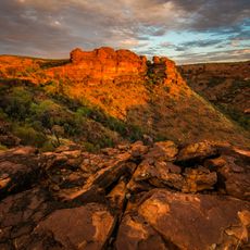
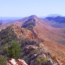
Mount Leisler is the highest point of the Kintore Range in the south-west of the Northern Territory, Australia, reaching 897 metres AHD. William Tietkens measured it at 446 metres above the surrounding plain during his 1889 expedition. The peak lies in sparsely populated country; the nearest larger settlement is Kintore.
William Tietkens named Mount Leisler on 27 May 1889 while leading the Central Australian Exploring Expedition for the Royal Geographical Society of Australasia's South Australian Branch. He honoured Louis Leisler of Glasgow, who funded his work between Fowlers Bay and the Musgrave Ranges. Tietkens blazed a tree at the mountain's base with the letter T above the numbers 5.89; Len Beadell found it again in 1960 while building the Sandy Blight Junction Road, and it has since died and fallen.
The peak is named after Louis Leisler, a Glasgow-based sponsor who funded exploration efforts in this remote region. The name reflects how financial support made these journeys into the interior possible.
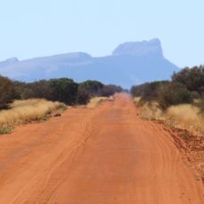
The peak sits in extremely remote terrain and is only accessible by special roads such as the Sandy Blight Junction Road. Visitors should prepare for harsh desert conditions and very limited facilities in the surrounding area.
Tietkens blazed a tree at the mountain's base, cutting the letter T above the numbers 5.89. Len Beadell found the tree again in 1960 while building the Sandy Blight Junction Road, and some branches still carried foliage; it has since died and fallen.
The community of curious travelers
AroundUs brings together thousands of curated places, local tips, and hidden gems, enriched daily by 94,096 contributors worldwide.