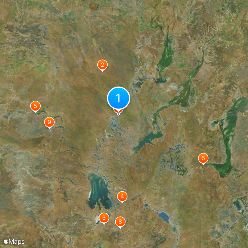
Lake Eyre basin, Endorheic basin in central Australia.
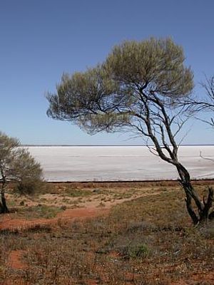
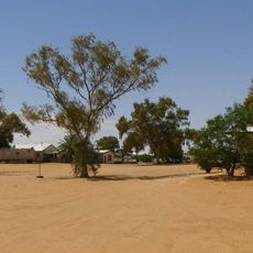
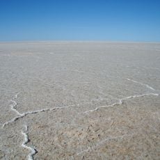
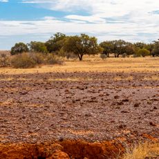
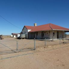
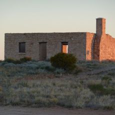
Lake Eyre Basin is a vast endorheic basin in central Australia spanning multiple states, with water flowing inward rather than to the ocean. It contains wide plains, dried lakebeds, and salt flats that transform depending on rainfall patterns.
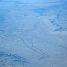
The basin formed roughly 60 million years ago when the southeastern region began sinking, allowing rivers to deposit sediment over time. Since then, the area has been shaped by extreme drought and rainfall cycles that continually transform its appearance.
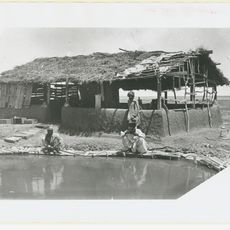
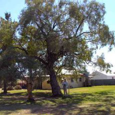
Indigenous peoples, particularly the Wangkangurru, have lived here for thousands of years and understand the land's cycles intimately. Their knowledge shapes how visitors and communities connect with this vast region today.
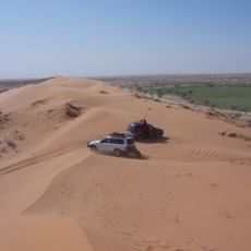
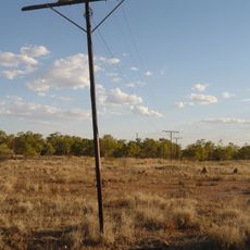
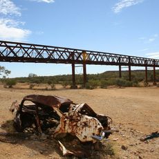
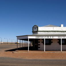
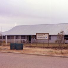
The area is extremely remote and requires careful preparation before visiting, particularly during dry seasons when salt flats spread widely. A four-wheel-drive vehicle and substantial supplies are essential for navigating the harsh conditions safely.
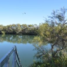
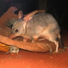
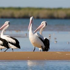
The region contains Australia's largest salt lake, which fills with water only after heavy rains arrive and then becomes a temporary oasis. These rare transformations attract enormous bird populations and briefly turn one of the continent's driest areas into an active wetland.
The community of curious travelers
AroundUs brings together thousands of curated places, local tips, and hidden gems, enriched daily by 60,000 contributors worldwide.